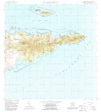
1958 Map of East Point
USGS Topo · Published 1988About this map
Saint Croix's eastern tip reveals a landscape of former sugar estates and shoreline transition at the close of the 1950s. The northern coast is defined by the Buck Island Reef National Monument and the Green Cay National Wildlife Refuge, preserving the ecological character of the Buck Island Channel. Inland, the topographic detail follows the steep rise of the Seven Hills and Goat Hills, where numerous landholdings such as Sallys Fancy, Catharinas Hope, and Petronella recall the island's plantation history. Notable landmarks like the Sight Ruins and Union and Mount Washington sit among these historic estates, while the road network of the East End Road and South Shore Road connects these highland sites to the Caribbean coast at Great Pond Bay and Jack Bay. The mapping also documents coastal features like Turner Hole and Point Cudejarre at the extreme East Point.
Find a feature on this map
71 named features on this map. Tap any name to fly to it.
Don’t see what you’re looking for? This feature index may not catch every label — zoom into the map to look around manually.
Map Details
Editions of this 1958 East Point Map
5 editions found
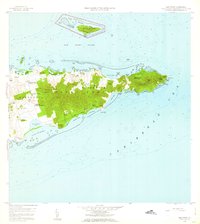
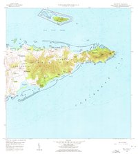
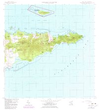
Other maps of this area
1958 · Christiansted
USGS Topo · 1:24,000
1958 · East Point
USGS Topo · 1:24,000
2013 · Beauregard Bay
USGS Topo · 1:20,000
2013 · Buck Island
USGS Topo · 1:20,000
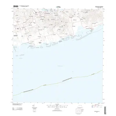
2013 · Christiansted
USGS Topo · 1:20,000
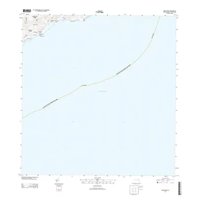
2013 · Grass Point
USGS Topo · 1:20,000
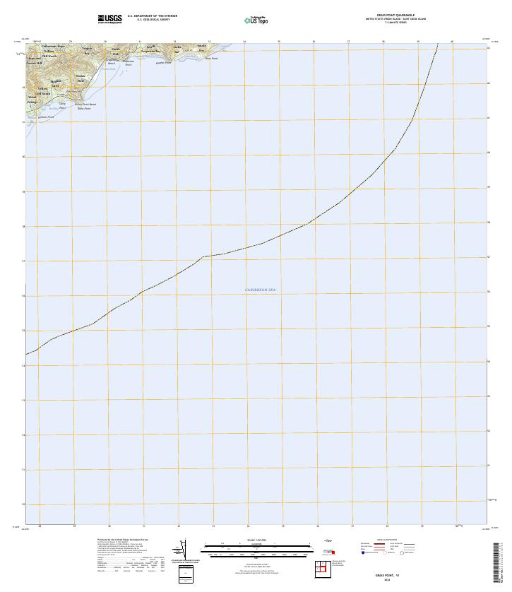
2024 · Grass Point
USGS Topo · 1:20,000
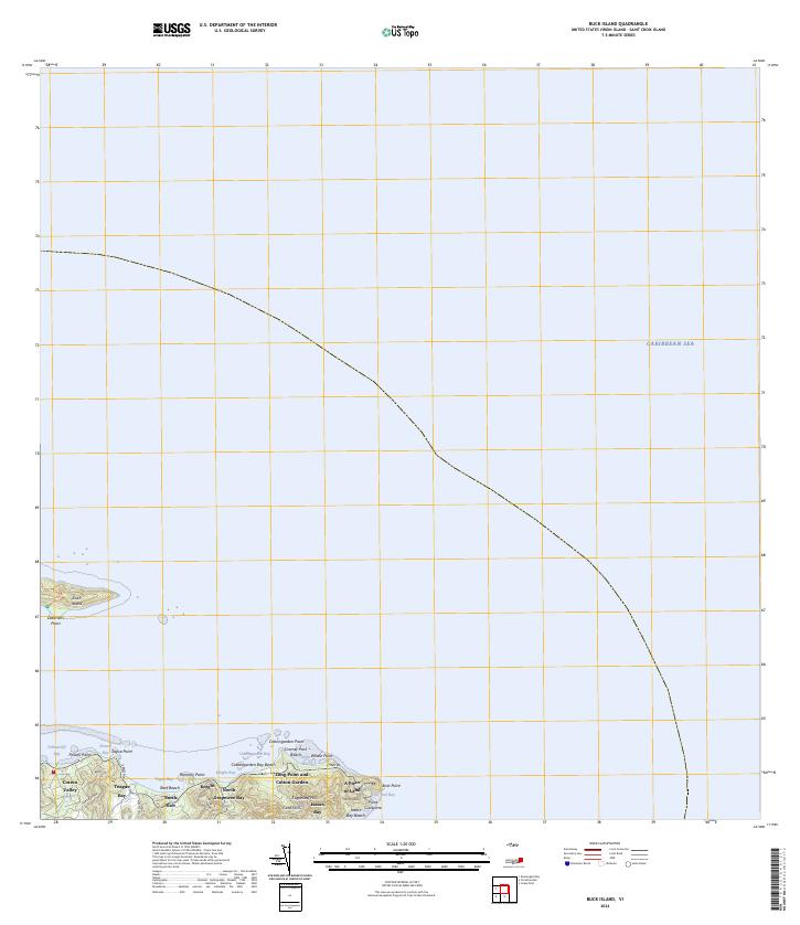
2024 · Buck Island
USGS Topo · 1:20,000
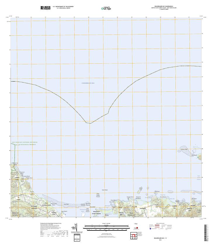
2024 · Beauregard Bay
USGS Topo · 1:20,000
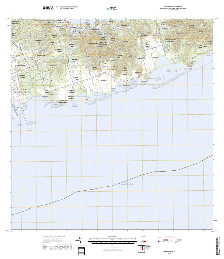
2024 · Christiansted
USGS Topo · 1:20,000
Featured Places
- Great Pond, Saint Croix District
- Coakley Bay, Saint Croix District
- Green Kay, Saint Croix District
- Mount Pleasant, Saint Croix District
- Teagues Bay, Saint Croix District