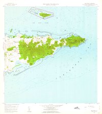
1958 Map of East Point
USGS Topo · Published 1963About this map
Buck Island Reef National Monument lies just off the northeastern coast, anchored by Buck Island and its surrounding reef system. This 1958 survey detail of Saint Croix captures the eastern extremity of the island, where the landscape is characterized by numerous small estates and plantations with distinctive names such as Sallys Fancy, Fannys Fancy, and Marys Fancy. The topographic data reveals a transition from the elevations of Seven Hills and Goat Hills down to the coastal ponds, including Southgate Pond and Great Pond. Local transport is guided by early routes like Madame Carty Road and Solitude Road. Genealogists and historians can identify numerous residential and agricultural sites, including Union and Mount Washington, Catharinas Hope, and the remnants of Cotton Grove, alongside coastal landmarks like Cramer Park Road leading toward the peninsula's tip at East Point.
Find a feature on this map
74 named features on this map. Tap any name to fly to it.
Don’t see what you’re looking for? This feature index may not catch every label — zoom into the map to look around manually.
Map Details
Editions of this 1958 East Point Map
5 editions found
Other maps of this area
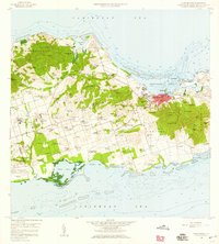
1958 · Christiansted
USGS Topo · 1:24,000
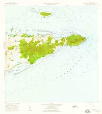
1958 · East Point
USGS Topo · 1:24,000
2013 · Beauregard Bay
USGS Topo · 1:20,000
2013 · Buck Island
USGS Topo · 1:20,000
2013 · Christiansted
USGS Topo · 1:20,000
2013 · Grass Point
USGS Topo · 1:20,000
2024 · Grass Point
USGS Topo · 1:20,000
2024 · Buck Island
USGS Topo · 1:20,000
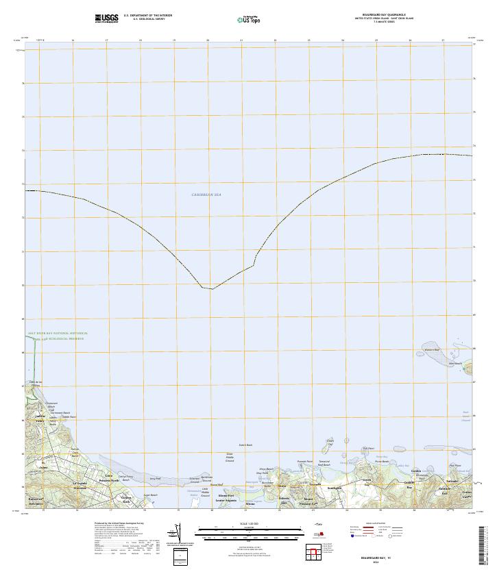
2024 · Beauregard Bay
USGS Topo · 1:20,000
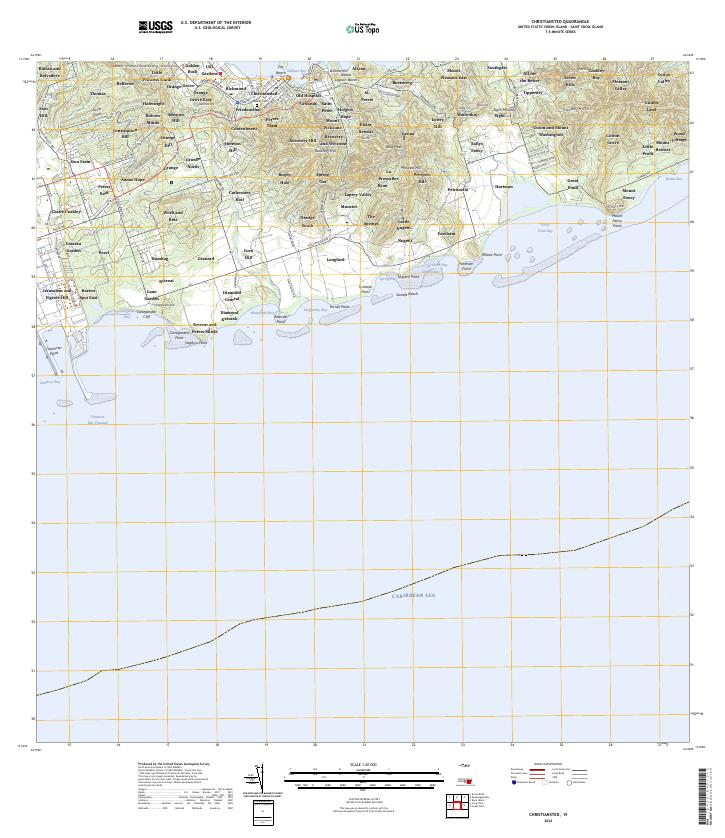
2024 · Christiansted
USGS Topo · 1:20,000
Featured Places
- Great Pond, Saint Croix District
- Coakley Bay, Saint Croix District
- Green Kay, Saint Croix District
- Mount Pleasant, Saint Croix District
- Teagues Bay, Saint Croix District