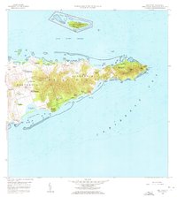
1958 Map of East Point
USGS Topo · Published 1972About this map
Saint Croix's eastern extremity comes to life in this mid-century survey, revealing a landscape defined by historic estate names and complex coastal topography. The map illustrates the island's transition from colonial plantation legacies to modern recreational land use, featuring prominent landmarks like the Buck Island National Monument and the established boundaries of Cramer Park. Notable residential and agricultural patterns are preserved through named sites such as Union and Mount Washington, Catharinas Hope, and Marys Fancy. Along the southern shore, the hydrologic significance of the Great Pond (Salt) and Great Pond Bay is clearly delineated. The terrain rises sharply into the Goat Hills and Sugarloaf Hill, while the coastline is a succession of bays including Teagues Bay and Isaac Bay, terminating at the rugged East Point.
Find a feature on this map
73 named features on this map. Tap any name to fly to it.
Don’t see what you’re looking for? This feature index may not catch every label — zoom into the map to look around manually.
Map Details
Editions of this 1958 East Point Map
5 editions found
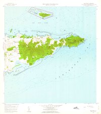
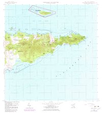
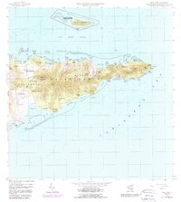
Other maps of this area
1958 · Christiansted
USGS Topo · 1:24,000
1958 · East Point
USGS Topo · 1:24,000
2013 · Beauregard Bay
USGS Topo · 1:20,000
2013 · Buck Island
USGS Topo · 1:20,000
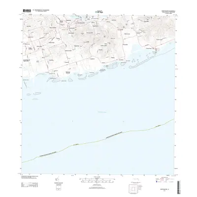
2013 · Christiansted
USGS Topo · 1:20,000
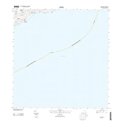
2013 · Grass Point
USGS Topo · 1:20,000
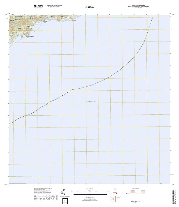
2024 · Grass Point
USGS Topo · 1:20,000
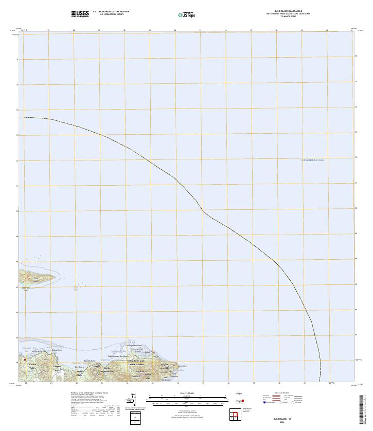
2024 · Buck Island
USGS Topo · 1:20,000
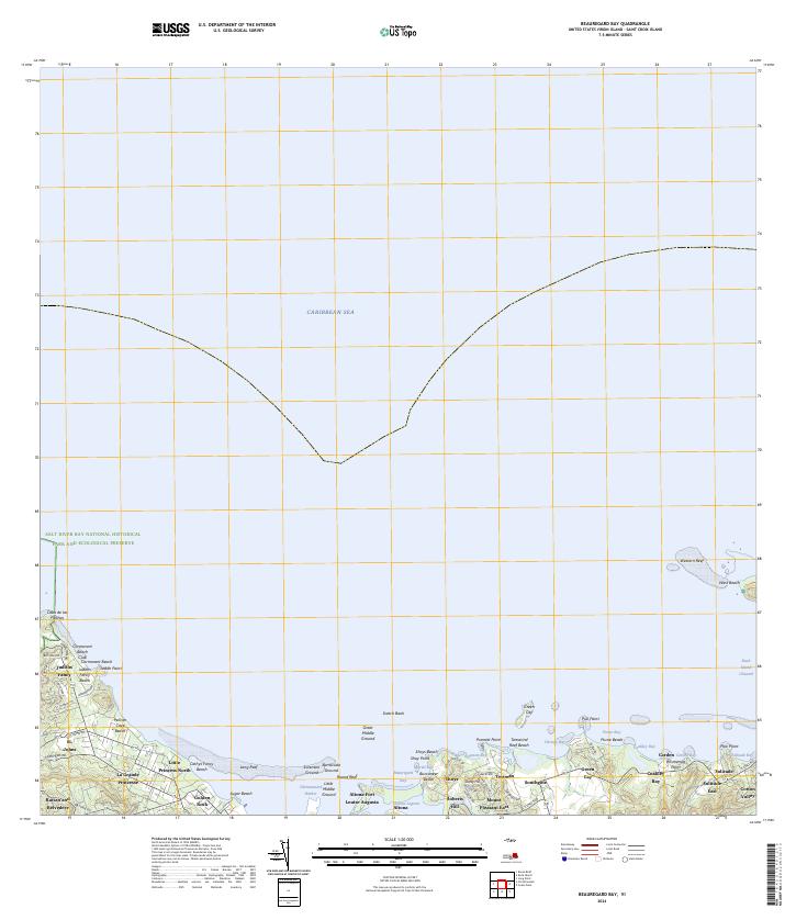
2024 · Beauregard Bay
USGS Topo · 1:20,000
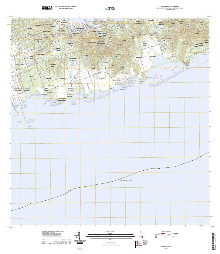
2024 · Christiansted
USGS Topo · 1:20,000
Featured Places
- Great Pond, Saint Croix District
- Coakley Bay, Saint Croix District
- Green Kay, Saint Croix District
- Mount Pleasant, Saint Croix District
- Teagues Bay, Saint Croix District