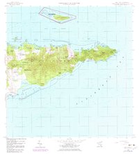
1958 Map of East Point
USGS Topo · Published 1983About this map
Buck Island Reef National Monument stands as a prominent offshore feature in this survey of the eastern tip of Saint Croix. The landscape of East End B Saint Croix is characterized by a mix of steep coastal topography and scattered estate settlements, many bearing evocative historic names such as Catharinas Hope, Marys Fancy, and Fannys Fancy. The shoreline is deeply indented by numerous bays, including Tague Bay and Grapetree Bay, which provided natural harbors for the region's early maritime activities.
Find a feature on this map
70 named features on this map. Tap any name to fly to it.
Don’t see what you’re looking for? This feature index may not catch every label — zoom into the map to look around manually.
Map Details
Editions of this 1958 East Point Map
5 editions found
Other maps of this area
1958 · Christiansted
USGS Topo · 1:24,000
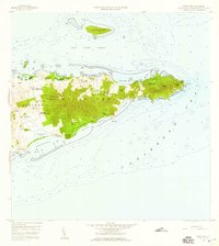
1958 · East Point
USGS Topo · 1:24,000
2013 · Beauregard Bay
USGS Topo · 1:20,000
2013 · Buck Island
USGS Topo · 1:20,000
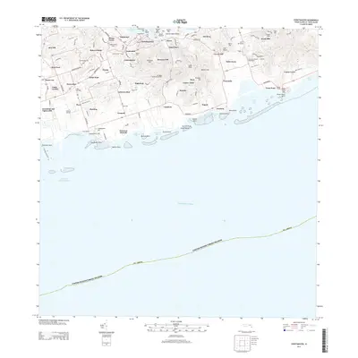
2013 · Christiansted
USGS Topo · 1:20,000
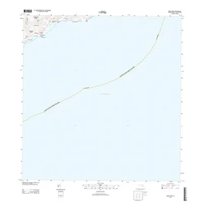
2013 · Grass Point
USGS Topo · 1:20,000
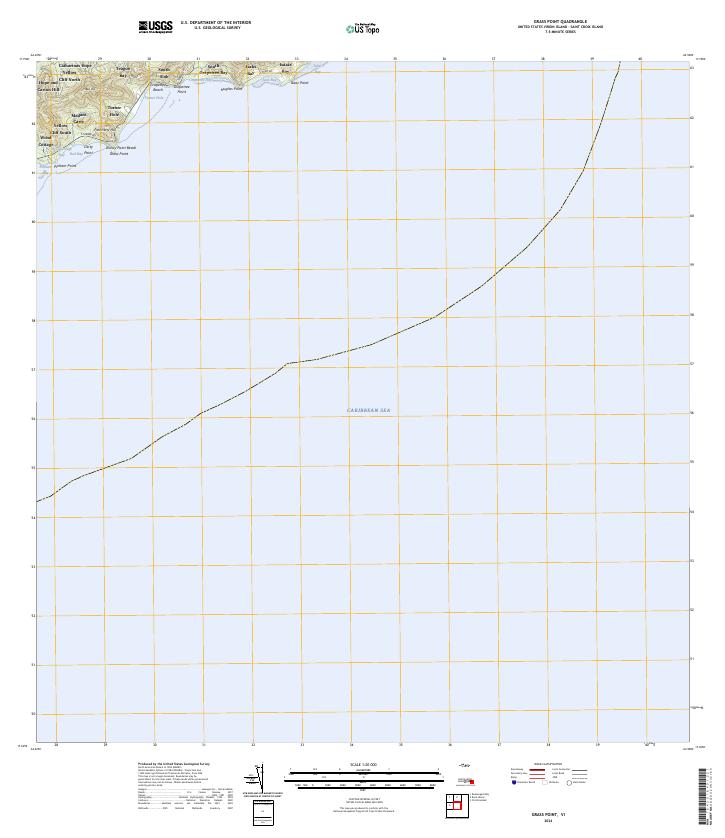
2024 · Grass Point
USGS Topo · 1:20,000
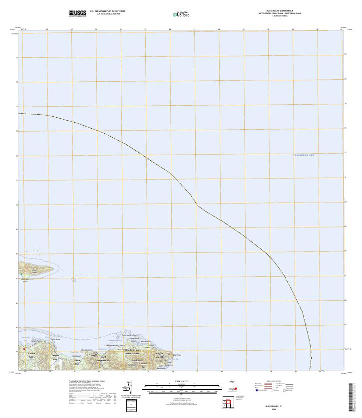
2024 · Buck Island
USGS Topo · 1:20,000
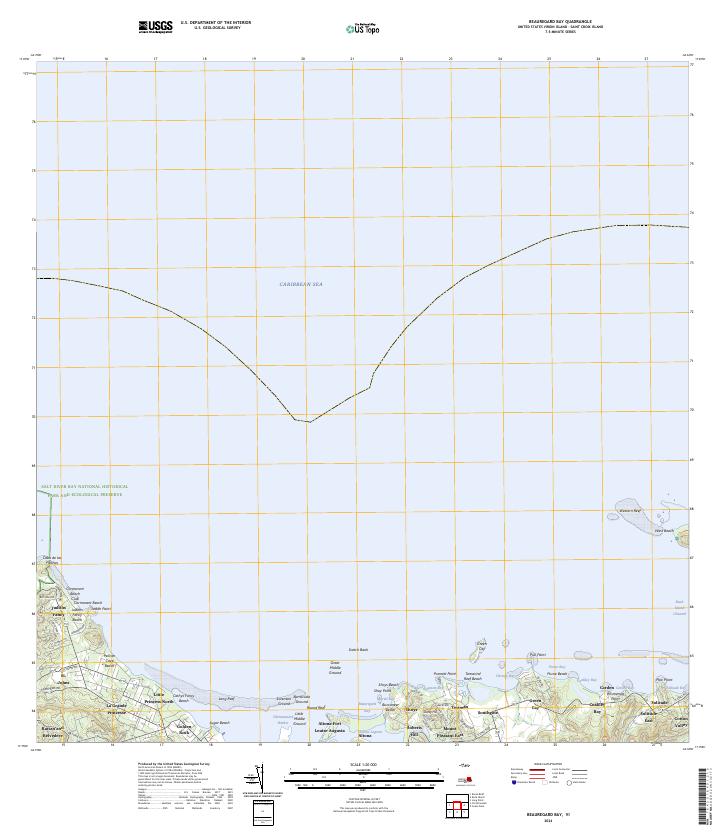
2024 · Beauregard Bay
USGS Topo · 1:20,000
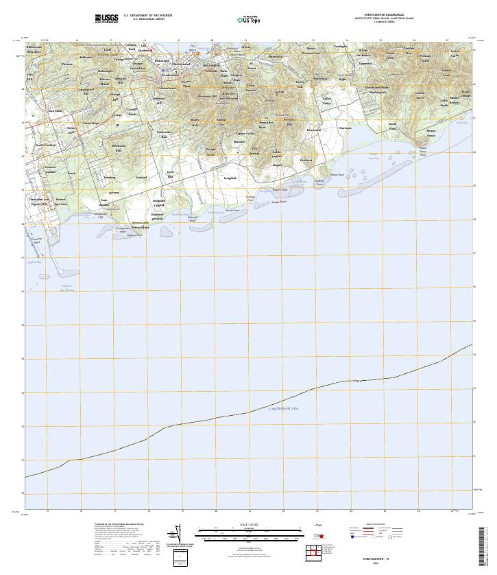
2024 · Christiansted
USGS Topo · 1:20,000
Featured Places
- Great Pond, Saint Croix District
- Coakley Bay, Saint Croix District
- Green Kay, Saint Croix District
- Mount Pleasant, Saint Croix District
- Teagues Bay, Saint Croix District