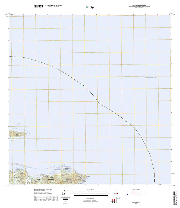
2024 Map of Buck Island
USGS Topo · Published 2024About this map
Buck Island Reef National Monument dominates the marine landscape of this 2024 coastal survey, preserving the critical underwater environment surrounding Buck Island. The map details the rugged northeast coastline of Saint Croix, where the land transitions from the peaks of Sugarloaf Hill and Goat Hills down to a series of protected inlets. Notable features like Cotton Valley and North Slob provide insight into the island's terrestrial layout, while A Piece of Land and Cramer Park Beach highlight local landmarks along the Caribbean Sea. The transit network is anchored by E End Rd, which connects the various points and bays along the shore. This modern topographic study serves as a precise record of the shoreline and elevation of the easternmost reaches of the territory, including distinctive landforms such as Long Point and Cotton Garden and Point Cudejarre.
Find a feature on this map
30 named features on this map. Tap any name to fly to it.
Don’t see what you’re looking for? This feature index may not catch every label — zoom into the map to look around manually.
Map Details
Editions of this 2024 Buck Island Map
This is the sole edition of this map. No revisions or reprints were ever made.
Other maps of this area
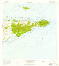
1958 · East Point
USGS Topo · 1:24,000
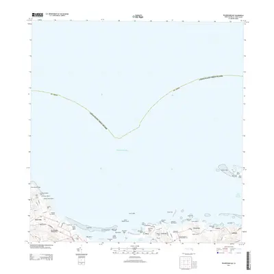
2013 · Beauregard Bay
USGS Topo · 1:20,000
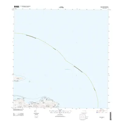
2013 · Buck Island
USGS Topo · 1:20,000
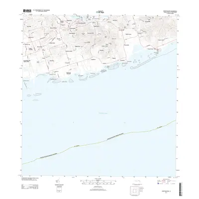
2013 · Christiansted
USGS Topo · 1:20,000
2013 · Grass Point
USGS Topo · 1:20,000
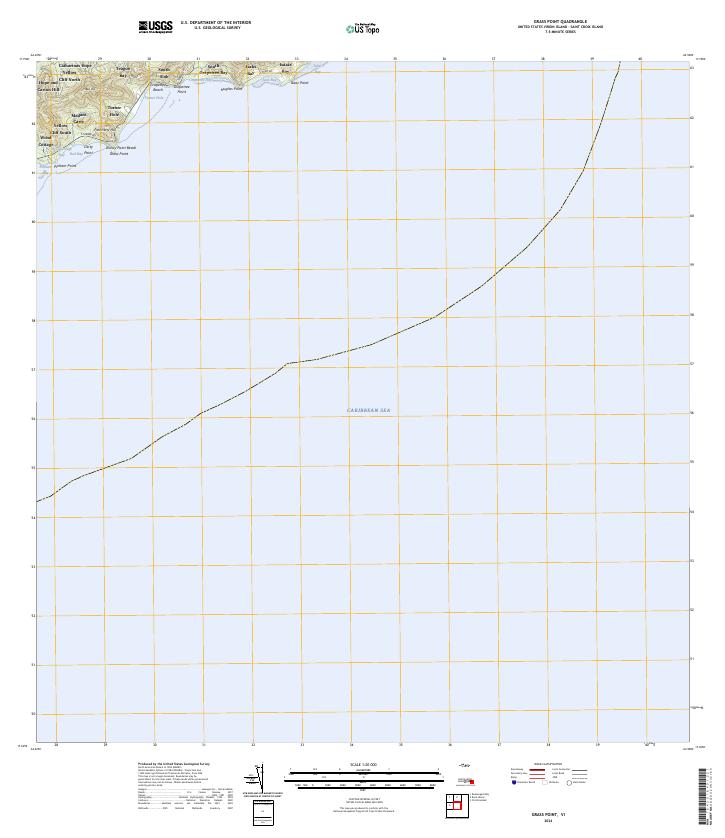
2024 · Grass Point
USGS Topo · 1:20,000
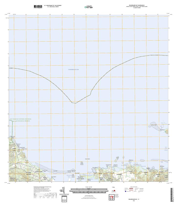
2024 · Beauregard Bay
USGS Topo · 1:20,000
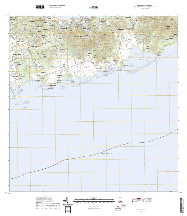
2024 · Christiansted
USGS Topo · 1:20,000
Featured Places
- Teagues Bay, Saint Croix District
- Cotton Valley, Saint Croix District
- North Grapetree Bay, Saint Croix District
- North Slob, Saint Croix District
- Grapetree Bay, Saint Croix District