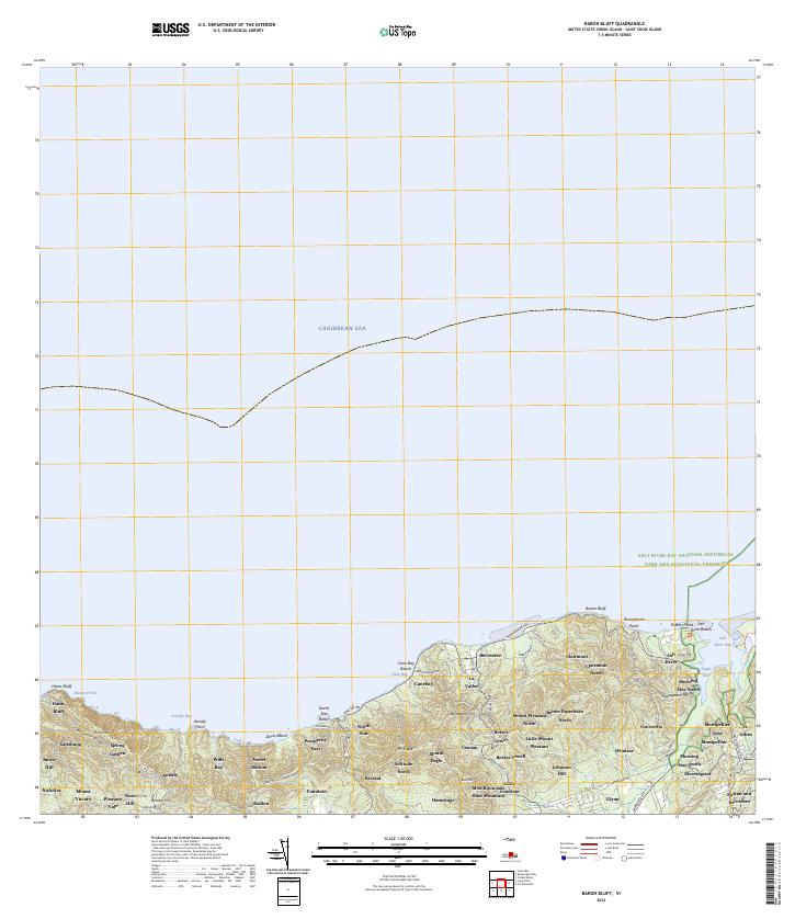
2024 Map of Baron Bluff
USGS Topo · Published 2024About this map
Caribbean Sea waters define the northern reaches of this coastal landscape, where the island's steep topography rises toward Mount Eagle and the prominent ridge of Blue Mountain. The northeastern shoreline is marked by the protected waters of Salt River Bay and the surrounding Salt River Bay National Historical Park and Ecological Preserve, a site of immense historical and ecological significance. Inland, the map reveals a dense network of estate-named settlements and residential clusters, reflecting the long history of land division on Saint Croix. Settlements such as Annaly, Morningstar, and Caledonia are connected by a winding infrastructure that includes the Scenic Rd and North Shore Rd, which follow the contours of the land from Hams Bluff in the west to the residential developments of Glynn and Windsor in the east.
Find a feature on this map
82 named features on this map. Tap any name to fly to it.
Don’t see what you’re looking for? This feature index may not catch every label — zoom into the map to look around manually.
Map Details
Editions of this 2024 Baron Bluff Map
This is the sole edition of this map. No revisions or reprints were ever made.
Other maps of this area
1958 · Christiansted
USGS Topo · 1:24,000
1958 · Frederiksted
USGS Topo · 1:24,000
2013 · Beauregard Bay
USGS Topo · 1:20,000
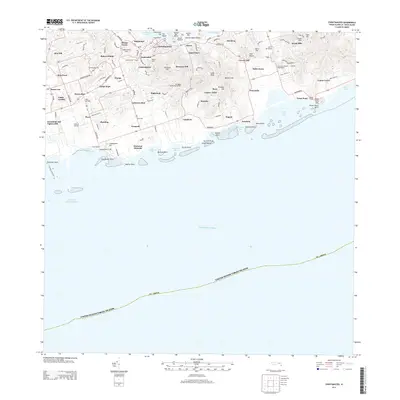
2013 · Christiansted
USGS Topo · 1:20,000
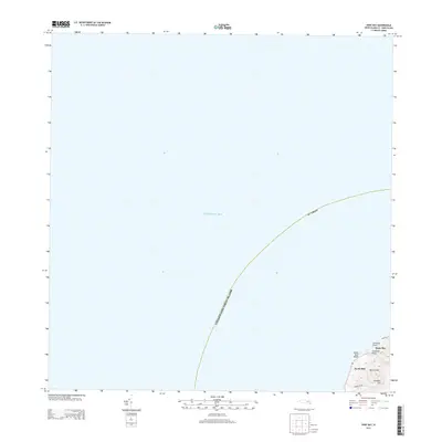
2013 · Hams Bay
USGS Topo · 1:20,000
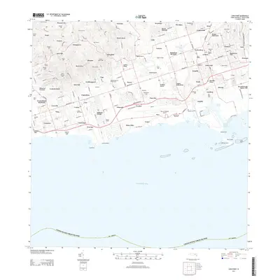
2013 · Long Point
USGS Topo · 1:20,000
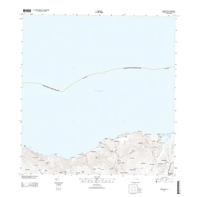
2013 · Baron Bluff
USGS Topo · 1:20,000
2013 · Frederiksted
USGS Topo · 1:20,000
2024 · Hams Bay
USGS Topo · 1:20,000
2024 · Beauregard Bay
USGS Topo · 1:20,000
Featured Places
- Clairmont, Saint Croix District
- Little Fountain, Saint Croix District
- Nicholas, Saint Croix District
- Blue Mountain, Saint Croix District
- North Star, Saint Croix District