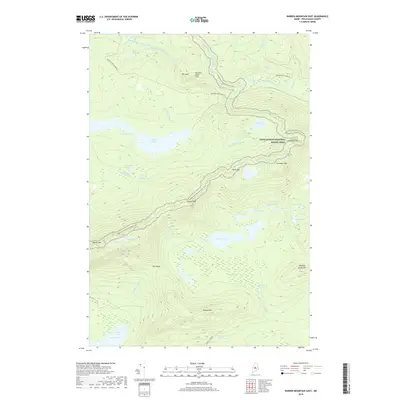
2018 Map of Barren Mountain East
USGS Topo · Published 2018About this map
The Appalachian National Scenic Trail traverses this high-elevation Maine landscape, following the ridgeline across several prominent peaks including Barren Mtn, Fourth Mtn, and Third Mtn. This terrain is defined by its dramatic relief and significant water features, with the West Branch Pleasant River carving a path through the northern section. Along the river, a series of cascades such as Stair Falls, Billings Falls, and Screw Auger Falls mark the descent through the steep valley.
Find a feature on this map
52 named features on this map. Tap any name to fly to it.
Don’t see what you’re looking for? This feature index may not catch every label — zoom into the map to look around manually.
Map Details
Editions of this 2018 Barren Mountain East Map
This is the sole edition of this map. No revisions or reprints were ever made.
Other maps of this area

1940 · Sebec
USGS Topo · 1:48,000

1943 · Sebec
USGS Topo · 1:62,500

1950 · Sebec Lake
USGS Topo · 1:62,500

1952 · Jo-Mary Mountain
USGS Topo · 1:62,500

1952 · First Roach Pond
USGS Topo · 1:62,500

1954 · Millinocket
USGS Topo · 1:250,000

1958 · Millinocket
USGS Topo · 1:250,000

1960 · Millinocket
USGS Topo · 1:250,000
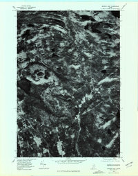
1977 · Monson East
USGS Topo · 1:24,000
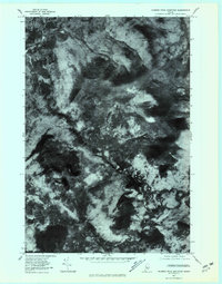
1977 · Number Four Mountain
USGS Topo · 1:24,000
Featured Places
- Bowerbank, ME
- Bowdoin College Grant East Township, ME
- Elliottsville Township, ME
- Bowdoin College Grant West Township, ME
- T7 R9 NWP, ME