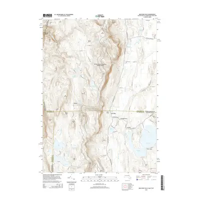
2015 Map of Bash Bish Falls
USGS Topo · Published 2015About this map
Mt Everett and the surrounding peaks of the Taconic Range dominate this 2015 survey, which covers the unique tri-state junction of Massachusetts, Connecticut, and New York. The landscape is defined by high-elevation water bodies like Guilder Pond and Riga Lake, reflecting a region of intense relief and preserved open space. To the east, the terrain descends toward lower-lying settlements such as Taconic and Hammertown, where the local road network follows the valleys of Moore Brook and Burton Brook.
Find a feature on this map
110 named features on this map. Tap any name to fly to it.
Don’t see what you’re looking for? This feature index may not catch every label — zoom into the map to look around manually.
Map Details
Editions of this 2015 Bash Bish Falls Map
This is the sole edition of this map. No revisions or reprints were ever made.
Other maps of this area

1885 · Sheffield
USGS Topo · 1:62,500

1888 · Sheffield
USGS Topo · 1:62,500

1891 · Sheffield
USGS Topo · 1:62,500

1892 · Cornwall
USGS Topo · 1:62,500

1893 · Sheffield
USGS Topo · 1:62,500

1893 · Cornwall
USGS Topo · 1:62,500

1897 · Sheffield
USGS Topo · 1:62,500

1899 · Housatonic
USGS Topo · 1:125,000

1899 · Millbrook
USGS Topo · 1:62,500

1900 · Housatonic
USGS Topo · 1:125,000