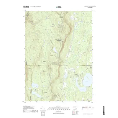
2018 Map of Bash Bish Falls
USGS Topo · Published 2018About this map
Bash Bish Falls marks the dramatic northwestern edge of this landscape where the borders of New York, Massachusetts, and Connecticut converge. The terrain is defined by the high peaks of the Taconic Range, including Mt Everett, Mt Race, and Bear Mtn, with the Appalachian National Scenic Trail threading along the ridgelines. To the south, the topography softens into the valley of Twin Lakes, comprising Washining Lake and Washinee Lake. Small historical settlements like Taconic, Hammertown, and Joyceville are situated along the lower elevations and watercourses. Local history is evidenced by family and site names such as Churchill Cem and Scoville Ore Mine Rd, reflecting the area's agricultural and industrial past. The complex drainage network of Bash Bish Brook and Wachocastinook Cr highlights the water power that once supported these rural communities.
Find a feature on this map
108 named features on this map. Tap any name to fly to it.
Don’t see what you’re looking for? This feature index may not catch every label — zoom into the map to look around manually.
Map Details
Editions of this 2018 Bash Bish Falls Map
This is the sole edition of this map. No revisions or reprints were ever made.
Other maps of this area

1885 · Sheffield
USGS Topo · 1:62,500

1888 · Sheffield
USGS Topo · 1:62,500

1891 · Sheffield
USGS Topo · 1:62,500

1892 · Cornwall
USGS Topo · 1:62,500

1893 · Sheffield
USGS Topo · 1:62,500

1893 · Cornwall
USGS Topo · 1:62,500

1897 · Sheffield
USGS Topo · 1:62,500

1899 · Housatonic
USGS Topo · 1:125,000

1899 · Millbrook
USGS Topo · 1:62,500

1900 · Housatonic
USGS Topo · 1:125,000