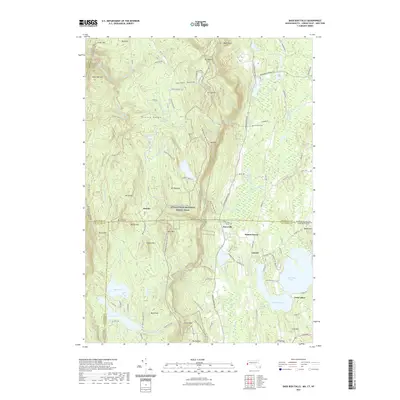
2021 Map of Bash Bish Falls
USGS Topo · Published 2021About this map
The Taconic Range defines this tri-state boundary region where New York, Massachusetts, and Connecticut converge at a rare geographical triple point. The high-elevation terrain is anchored by peaks like Mt Frissell and Bear Mtn, providing the backdrop for a significant stretch of the Appalachian National Scenic Trail. In the valleys below, the influence of early industry is evident near Scoville Ore Mine Rd, reflecting the historic iron heritage of the Litchfield Hills. The landscape transitions from the heights of Mt Everett to the recreational waters of Twin Lakes, including Washining Lake and Washinee Lake. Small settlements like Taconic and Joyceville sit near the water's edge, while Sages Ravine marks the rugged transition between state lines. Local heritage is preserved at sites like Churchill Cem, tucked along the eastern slopes of the range.
Find a feature on this map
122 named features on this map. Tap any name to fly to it.
Don’t see what you’re looking for? This feature index may not catch every label — zoom into the map to look around manually.
Map Details
Editions of this 2021 Bash Bish Falls Map
This is the sole edition of this map. No revisions or reprints were ever made.
Other maps of this area

1885 · Sheffield
USGS Topo · 1:62,500

1888 · Sheffield
USGS Topo · 1:62,500

1891 · Sheffield
USGS Topo · 1:62,500

1892 · Cornwall
USGS Topo · 1:62,500

1893 · Sheffield
USGS Topo · 1:62,500

1893 · Cornwall
USGS Topo · 1:62,500

1897 · Sheffield
USGS Topo · 1:62,500

1899 · Housatonic
USGS Topo · 1:125,000

1899 · Millbrook
USGS Topo · 1:62,500

1900 · Housatonic
USGS Topo · 1:125,000