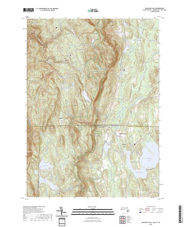
2024 Map of Bash Bish Falls
USGS Topo · Published 2024About this map
The Taconic Range dominates this tri-state intersection where Massachusetts, Connecticut, and New York converge. This modern data synthesis highlights the significant elevation changes and water features that define the region, including the famous Bash Bish Falls and the winding Appalachian National Scenic Trail. The landscape is dotted with high-altitude ponds and peaks such as Mt Everett and Mt Frissell, while the lowlands reveal settled pockets at Taconic and Hammertown. Historical land use is evident in the numerous small family and community burial grounds scattered throughout the hills, from the Alander Cem in the north to the Mount Riga Cem further south. The map provides a clear picture of the modern road network, like Scoville Ore Mine Rd, which hints at the area's industrial past amid the contemporary protected forest lands.
Find a feature on this map
111 named features on this map. Tap any name to fly to it.
Don’t see what you’re looking for? This feature index may not catch every label — zoom into the map to look around manually.
Map Details
Editions of this 2024 Bash Bish Falls Map
This is the sole edition of this map. No revisions or reprints were ever made.
Other maps of this area

1885 · Sheffield
USGS Topo · 1:62,500

1888 · Sheffield
USGS Topo · 1:62,500

1891 · Sheffield
USGS Topo · 1:62,500

1892 · Cornwall
USGS Topo · 1:62,500

1893 · Sheffield
USGS Topo · 1:62,500

1893 · Cornwall
USGS Topo · 1:62,500

1897 · Sheffield
USGS Topo · 1:62,500

1899 · Housatonic
USGS Topo · 1:125,000

1899 · Millbrook
USGS Topo · 1:62,500

1900 · Housatonic
USGS Topo · 1:125,000