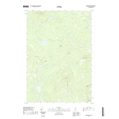
2021 Map of Basin Mountain
USGS Topo · Published 2021About this map
Basin Mtn and the surrounding wilderness of Somerset County are defined by a complex network of glacial ponds and the winding course of the Dead River. This 2021 survey illustrates a remote landscape where water and topography dictate human passage, with Grand Falls serving as a significant landmark along the river corridor. The map details a territory largely managed for timber and conservation, evidenced by the secondary roads like Lower Enchanted Rd and Grand Falls Rd that penetrate the dense forest.
Find a feature on this map
33 named features on this map. Tap any name to fly to it.
Don’t see what you’re looking for? This feature index may not catch every label — zoom into the map to look around manually.
Map Details
Editions of this 2021 Basin Mountain Map
This is the sole edition of this map. No revisions or reprints were ever made.
Other maps of this area

1925 · Pierce Pond
USGS Topo · 1:48,000

1927 · Pierce Pond
USGS Topo · 1:62,500

1928 · Spencer
USGS Topo · 1:48,000

1928 · Dead River
USGS Topo · 1:62,500

1928 · Stratton
USGS Topo · 1:48,000

1931 · Dead River
USGS Topo · 1:48,000

1932 · Stratton
USGS Topo · 1:62,500

1932 · Spencer
USGS Topo · 1:62,500

1944 · Dead River
USGS Topo · 1:62,500

1944 · Pierce Pond
USGS Topo · 1:62,500
Featured Places
- T3 R5 BKP WKR, ME
- Hayden Landing, Pierce Pond Township
- Spring Lake Landing, Spring Lake Township
- Spring Lake Township, ME
- Pierce Pond Township, ME