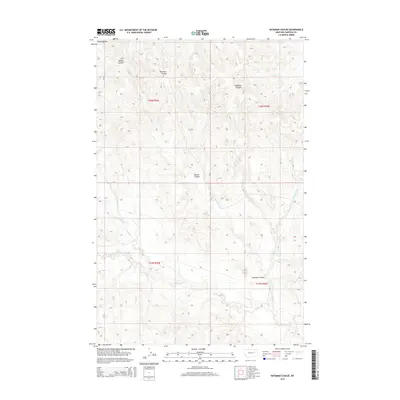
2014 Map of Bateman Coulee
USGS Topo · Published 2014About this map
Piney Buttes rises above a highly dissected Montana landscape where the drainage patterns of the Missouri River watershed define the local geography. This high-plains terrain is etched by the intricate paths of Bateman Coulee, Maban Coulee, and Redbank Coulee, which serve as the primary conduits for seasonal runoff. The complex network of watercourses includes Wolf Cr and Little Wolf Cr, alongside Frazier Cr and Second Cr, illustrating the erosional forces that have shaped this portion of Garfield County. The map provides a precise look at the township and range divisions, including t20n r39e and t19n r40e, which historically governed land claims and grazing rights in this open country.
Find a feature on this map
12 named features on this map. Tap any name to fly to it.
Don’t see what you’re looking for? This feature index may not catch every label — zoom into the map to look around manually.
Map Details
Editions of this 2014 Bateman Coulee Map
This is the sole edition of this map. No revisions or reprints were ever made.
Other maps of this area

1954 · Jordan
USGS Topo · 1:250,000

1956 · Jordan
USGS Topo · 1:250,000

1958 · Jordan
USGS Topo · 1:250,000

1958 · Maloney Hill
USGS Topo · 1:62,500

1964 · Jordan
USGS Topo · 1:250,000

1964 · Jordan SE
USGS Topo · 1:24,000

1964 · Jordan NE
USGS Topo · 1:24,000

1964 · Ada Creek
USGS Topo · 1:24,000

1964 · Bateman Coulee
USGS Topo · 1:24,000

1964 · Black John Coulee
USGS Topo · 1:24,000