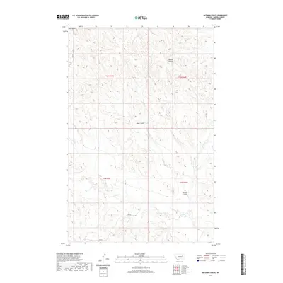
2020 Map of Bateman Coulee
USGS Topo · Published 2020About this map
Piney Buttes rise above a landscape defined by an intricate network of drainage channels in this modern topographic survey of Garfield County. The terrain is dominated by deeply etched coulees and seasonal stream beds that carve through the high plains, illustrating the erosive power of water in this semi-arid environment. Key watercourses like Camp Cr and Redbank Coulee move through the northern sections, while Maban Coulee and Bateman Coulee occupy the central and southern reaches. The map highlights the sparse human infrastructure of the area, centered primarily on Haxby Rd in the northwest. This layout reveals a region primarily dedicated to open-range land management, where natural features like Wolf Cr and Frazier Cr provide the primary orientation points for land use and navigation within the expansive township and range grid system.
Find a feature on this map
14 named features on this map. Tap any name to fly to it.
Don’t see what you’re looking for? This feature index may not catch every label — zoom into the map to look around manually.
Map Details
Editions of this 2020 Bateman Coulee Map
This is the sole edition of this map. No revisions or reprints were ever made.
Other maps of this area

1954 · Jordan
USGS Topo · 1:250,000

1956 · Jordan
USGS Topo · 1:250,000

1958 · Jordan
USGS Topo · 1:250,000

1958 · Maloney Hill
USGS Topo · 1:62,500

1964 · Jordan
USGS Topo · 1:250,000

1964 · Jordan SE
USGS Topo · 1:24,000

1964 · Jordan NE
USGS Topo · 1:24,000

1964 · Ada Creek
USGS Topo · 1:24,000

1964 · Bateman Coulee
USGS Topo · 1:24,000

1964 · Black John Coulee
USGS Topo · 1:24,000