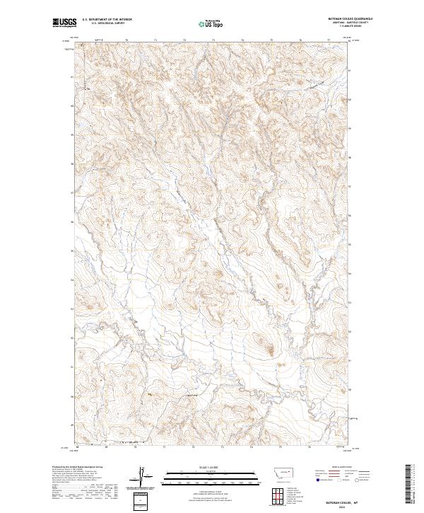
2024 Map of Bateman Coulee
USGS Topo · Published 2024About this map
Bateman Coulee and Maban Coulee carve through this section of Garfield County, defining a landscape shaped by intermittent drainage systems and high prairie topography. This 2024 survey captures the intricate network of coulees and creeks that drain towards the larger regional basins, including Redbank Coulee in the northeast and Frazier Creek to the south. The map reflects a classic Montana ranching environment where water sources like Little Wolf Creek and Second Creek are the primary landmarks across the public land survey grid. Historically significant for its lack of concentrated settlements, the area is instead marked by the township boundaries of T20N R39E and T19N R40E, showing the enduring spatial organization of this rural territory. The detailed contour intervals illustrate the complex breaks and ridges between Camp Creek and the surrounding plateaus.
Find a feature on this map
11 named features on this map. Tap any name to fly to it.
Don’t see what you’re looking for? This feature index may not catch every label — zoom into the map to look around manually.
Map Details
Editions of this 2024 Bateman Coulee Map
This is the sole edition of this map. No revisions or reprints were ever made.
Other maps of this area

1954 · Jordan
USGS Topo · 1:250,000

1956 · Jordan
USGS Topo · 1:250,000

1958 · Jordan
USGS Topo · 1:250,000

1958 · Maloney Hill
USGS Topo · 1:62,500

1964 · Jordan
USGS Topo · 1:250,000

1964 · Jordan SE
USGS Topo · 1:24,000

1964 · Jordan NE
USGS Topo · 1:24,000

1964 · Ada Creek
USGS Topo · 1:24,000

1964 · Bateman Coulee
USGS Topo · 1:24,000

1964 · Black John Coulee
USGS Topo · 1:24,000