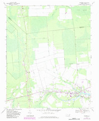
1985 Map of Bayboro
USGS Topo · Published 1990About this map
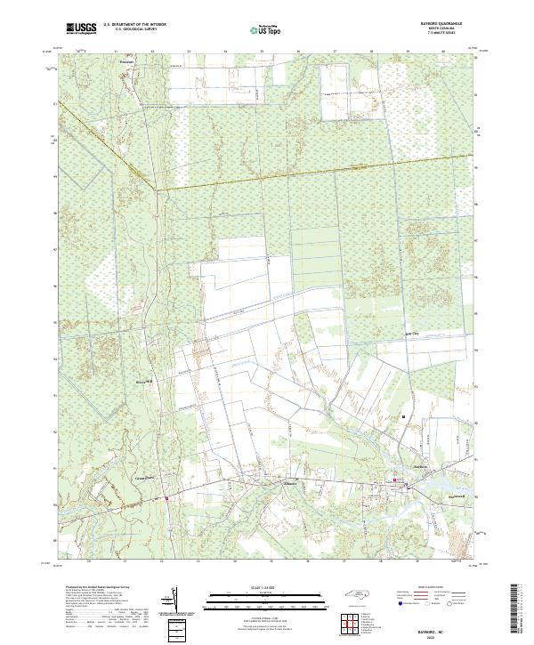
Pamlico Sound dominates this mid-1980s coastal survey, revealing the complex interface of land and water across Pamlico, Beaufort, and Hyde counties. The landscape is characterized by the vast estuarine systems of the Pamlico River and Neuse River, separated by a network of low-lying marshes and swamps including the Gum Swamp and Light Ground Pocosin. This era reflects a significant emphasis on conservation and habitat management, evidenced by the large tracts of protected land such as the Swanquarter National Wildlife Refuge and Mattamuskeet National Wildlife Refuge. Small waterfront communities like Bayboro, Oriental, and Vandemere serve as focal points for the region's maritime character. The presence of Lake Mattamuskeet and the surrounding Gull Rock State Game Land highlights the unique wetland ecology of North Carolina's Inner Banks prior to more modern coastal development.
Find a feature on this map
69 named features on this map. Tap any name to fly to it.
Don’t see what you’re looking for? This feature index may not catch every label — zoom into the map to look around manually.
Map Details
Editions of this 1985 Bayboro Map
This is the sole edition of this map. No revisions or reprints were ever made.
Historical Maps of New Bern Through Time
7 maps found