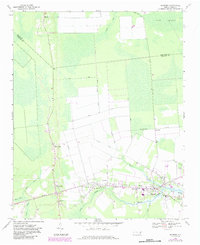
1968 Map of Bayboro
USGS Topo · Published 1984About this map
The Bay River watershed and the low-lying terrain of the Gum Swamp dominate this coastal plain landscape. Along the north and south prongs of the river, the historic rail and road corridor connects the riverside settlements of Bayboro, Alliance, and Grantsboro. The drainage of this wet region is clearly visible through a system of engineered waterways including the Main Canal, Flowers Canal, and Sawyer Canal, which cut through the agricultural lands north of the primary towns. Genealogists will find several rural landmarks including the Rock of Zion Ch, St Marks Ch, and Green Hill Ch. The map also captures the inland hamlet of Silver Hill and the small coastal community of Stonewall, providing a clear record of Pamlico County's development during the mid-to-late 20th century.
Find a feature on this map
34 named features on this map. Tap any name to fly to it.
Don’t see what you’re looking for? This feature index may not catch every label — zoom into the map to look around manually.
Map Details
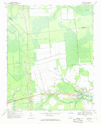
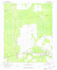
Editions of this 1968 Bayboro Map
Other maps of this area

1948 · Oriental
USGS Topo · 1:24,000

1950 · Vandemere
USGS Topo · 1:24,000

1950 · South Creek
USGS Topo · 1:24,000

1950 · Aurora
USGS Topo · 1:24,000

1950 · Edward
USGS Topo · 1:24,000

1950 · Upper Broad Creek
USGS Topo · 1:24,000

1950 · Arapahoe
USGS Topo · 1:24,000

1951 · Arapahoe
USGS Topo · 1:24,000

1951 · Upper Broad Creek
USGS Topo · 1:24,000

1953 · Rocky Mount
USGS Topo · 1:250,000