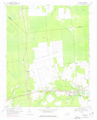
1968 Map of Bayboro
USGS Topo · Published 1977About this map
Bayboro serves as the focal point of this coastal plain landscape, where the Norfolk Southern railroad tracks parallel the Bay River. The 1974 photorevisions reveal a highly structured drainage system of agricultural canals, including the Main Canal and Sandhill Canal, which cut through the lowlands to manage the local water table. These engineering efforts reflect the intensive land use surrounding the town centers of Alliance and Grantsboro.
Find a feature on this map
37 named features on this map. Tap any name to fly to it.
Don’t see what you’re looking for? This feature index may not catch every label — zoom into the map to look around manually.
Map Details
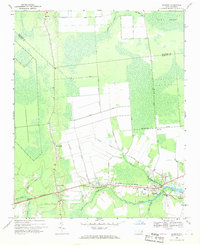
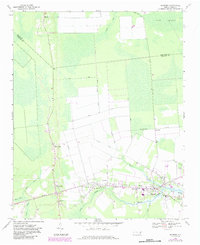
Editions of this 1968 Bayboro Map
Other maps of this area

1948 · Oriental
USGS Topo · 1:24,000

1950 · Vandemere
USGS Topo · 1:24,000

1950 · South Creek
USGS Topo · 1:24,000

1950 · Aurora
USGS Topo · 1:24,000

1950 · Edward
USGS Topo · 1:24,000

1950 · Upper Broad Creek
USGS Topo · 1:24,000

1950 · Arapahoe
USGS Topo · 1:24,000

1951 · Arapahoe
USGS Topo · 1:24,000

1951 · Upper Broad Creek
USGS Topo · 1:24,000

1953 · Rocky Mount
USGS Topo · 1:250,000