
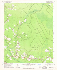
1950 Map of Aurora
USGS Topo · Published 1952About this map
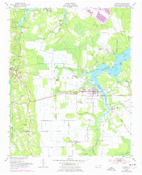
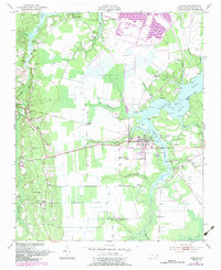
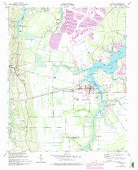
South Creek dominates the eastern half of this survey, with its labyrinthine tributaries like Whitehurst Creek and Lee Creek reaching into the lowland woods of Richland. The town of Aurora serves as the central hub, situated where the Atlantic Coast Line railway terminates near the waterfront. This era shows a landscape deeply defined by water and rail commerce, featuring numerous small landing points and depth markers for coastal navigation, such as Hickory Point and Sandy Landing.
Find a feature on this map
91 named features on this map. Tap any name to fly to it.
Don’t see what you’re looking for? This feature index may not catch every label — zoom into the map to look around manually.
Map Details
Editions of this 1950 Aurora Map
4 editions found
Other maps of this area

1950 · Vandemere
USGS Topo · 1:24,000

1950 · South Creek
USGS Topo · 1:24,000

1950 · Edward
USGS Topo · 1:24,000

1951 · Bath
USGS Topo · 1:24,000

1951 · Ransomville
USGS Topo · 1:24,000

1953 · Blounts Bay
USGS Topo · 1:24,000

1953 · Rocky Mount
USGS Topo · 1:250,000

1954 · Rocky Mount
USGS Topo · 1:250,000
1968 · Bayboro
USGS Topo · 1:24,000
1969 · Reelsboro
USGS Topo · 1:24,000