
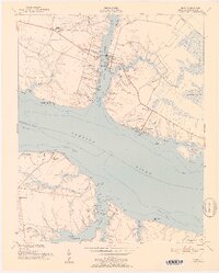
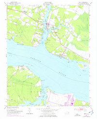
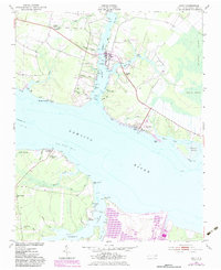
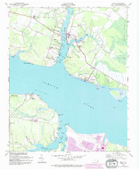
1951 Map of Bath
USGS Topo · Published 1952About this map
The colonial-era settlement of Bath occupies a small peninsula at the confluence of Bath Creek and the Pamlico River in this early 1950s survey. The landscape is defined by its maritime geography, with numerous points like Bonners Pt and Handys Pt jutting into the creeks and rivers that served as the primary thoroughfares for generations. To the north at Whitepost and across the water at Core Point, the map reveals a rural community supported by a network of small churches, including Core Point Chapel and Stevens Ch.
Find a feature on this map
71 named features on this map. Tap any name to fly to it.
Don’t see what you’re looking for? This feature index may not catch every label — zoom into the map to look around manually.
Map Details
Editions of this 1951 Bath Map
5 editions found
Other maps of this area

1914 · Belhaven
USGS Topo · 1:48,000

1916 · Belhaven
USGS Topo · 1:62,500

1943 · Plymouth
USGS Topo · 1:125,000

1950 · South Creek
USGS Topo · 1:24,000

1950 · Pinetown
USGS Topo · 1:24,000

1950 · Aurora
USGS Topo · 1:24,000

1950 · Edward
USGS Topo · 1:24,000

1951 · Bunyan
USGS Topo · 1:24,000

1951 · Ransomville
USGS Topo · 1:24,000

1951 · Pantego
USGS Topo · 1:24,000