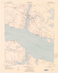
1951 Map of Bath
USGS Topo · Published 1952About this map
The coastal village of Bath is documented here as it appeared in the early 1950s, revealing a landscape defined by deep-water inlets and historical land grants. As North Carolina's oldest town, the map captures the community clustered around Bath Creek and Back Creek, featuring local landmarks like Bonners Pt and the Bayside Sch. Across the wide expanse of the Pamlico River, the landscape shifts to the more rural shoreline of Core Point, where the Core Point Chapel and Core Point Shoal mark the junction of the river and local tributaries like Taylor Branch. Extensive wetlands and guts, such as Teacha Gut and Archbell Gut, weave through the surrounding timberlands and marshes. Further inland, agricultural clearings like Glebe and the small settlement of Whitepost near Athens Chapel illustrate the persistent pattern of tidewater settlement that has endured for centuries along these estuaries.
Find a feature on this map
61 named features on this map. Tap any name to fly to it.
Don’t see what you’re looking for? This feature index may not catch every label — zoom into the map to look around manually.
Map Details
Editions of this 1951 Bath Map
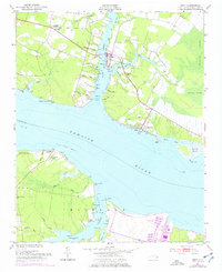
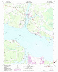
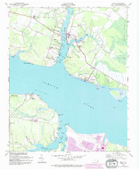
5 editions found
Other maps of this area

1914 · Belhaven
USGS Topo · 1:48,000

1916 · Belhaven
USGS Topo · 1:62,500

1943 · Plymouth
USGS Topo · 1:125,000

1950 · South Creek
USGS Topo · 1:24,000

1950 · Pinetown
USGS Topo · 1:24,000

1950 · Aurora
USGS Topo · 1:24,000

1950 · Edward
USGS Topo · 1:24,000

1951 · Bunyan
USGS Topo · 1:24,000

1951 · Bath
USGS Topo · 1:24,000

1951 · Ransomville
USGS Topo · 1:24,000