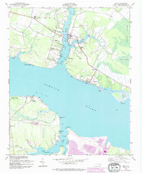
1951 Map of Bath
USGS Topo · Published 1994About this map
Bath and its surrounding waterfront on the Pamlico River define this coastal landscape as it appeared in the mid-20th century. The settlement pattern is deeply tied to the intricate network of tidal creeks and guts, including Bath Creek, Back Creek, and Carter Creek. On the northern shore, family-named landmarks like Bonners Pt and Handys Pt sit near local institutions such as the Bayside Sch and Stevens Ch. A 1988 revision layer shows significant industrial and infrastructure development on the southern bank near Durham, specifically at the Lee Creek Airport complex.
Find a feature on this map
61 named features on this map. Tap any name to fly to it.
Don’t see what you’re looking for? This feature index may not catch every label — zoom into the map to look around manually.
Map Details
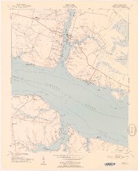
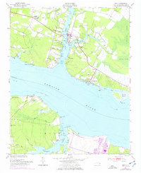
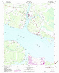
Editions of this 1951 Bath Map
5 editions found
Other maps of this area

1914 · Belhaven
USGS Topo · 1:48,000

1916 · Belhaven
USGS Topo · 1:62,500

1943 · Plymouth
USGS Topo · 1:125,000

1950 · South Creek
USGS Topo · 1:24,000

1950 · Pinetown
USGS Topo · 1:24,000

1950 · Aurora
USGS Topo · 1:24,000

1950 · Edward
USGS Topo · 1:24,000

1951 · Bunyan
USGS Topo · 1:24,000

1951 · Bath
USGS Topo · 1:24,000

1951 · Ransomville
USGS Topo · 1:24,000