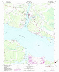
1951 Map of Bath
USGS Topo · Published 1983About this map
Bath sits at the heart of this coastal survey, established on the north bank of the Pamlico River where its deep-water access shaped early maritime life. The map reveals a landscape defined by intricate watercourses like Glebe Creek, Adams Creek, and the curiously named Teachs Gut, a nod to the area's pirate lore. Local institutions of the mid-20th century are well-documented, including Athens Chapel in the northwest, Stevens Ch near Bayview, and the Bayside Sch. South across the river, the settlement at Core Point Chapel and the marshy expanses of Rumley Marsh illustrate the area's rural character. Evidence of modernization appears in the Landing Strip and updated road alignments, while the hydrographic data and numerous pilings along the shoreline speak to the ongoing importance of the river for transport and local trade.
Find a feature on this map
57 named features on this map. Tap any name to fly to it.
Don’t see what you’re looking for? This feature index may not catch every label — zoom into the map to look around manually.
Map Details
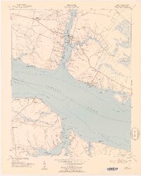
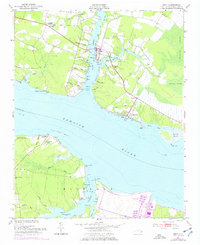
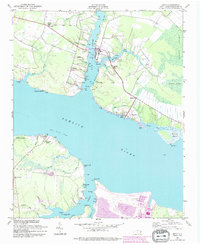
Editions of this 1951 Bath Map
5 editions found
Other maps of this area

1914 · Belhaven
USGS Topo · 1:48,000

1916 · Belhaven
USGS Topo · 1:62,500

1943 · Plymouth
USGS Topo · 1:125,000

1950 · South Creek
USGS Topo · 1:24,000

1950 · Pinetown
USGS Topo · 1:24,000

1950 · Aurora
USGS Topo · 1:24,000

1950 · Edward
USGS Topo · 1:24,000

1951 · Bunyan
USGS Topo · 1:24,000

1951 · Bath
USGS Topo · 1:24,000

1951 · Ransomville
USGS Topo · 1:24,000