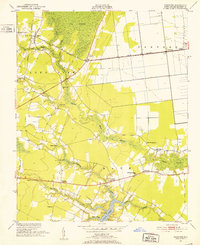
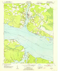
1950 Map of Pinetown
USGS Topo · Published 1952About this map
Pungo Swamp and Van Swamp dominate this mid-century landscape in Beaufort County, where drainage networks and timbered lowlands intersect with small farming hamlets. The Norfolk Southern railway serves as a primary corridor, connecting Pinetown and Terra Ceia across the flat coastal plain. Rural life is anchored by family-named landmarks and local institutions, including Rodmans Quarter Sch and numerous country churches like Shiloh Ch and White Plain Ch. To the south, the topography shifts toward the tidal waters of Bath Creek, featuring Boyd Point and the shore at Leeward Seine Beach. This survey captures the transition from interior swampland to the navigable creeks of the Pamlico Sound watershed, punctuated by industry at Oden Mill and fire watch operations at Everett Lookout Tower.
Find a feature on this map
39 named features on this map. Tap any name to fly to it.
Don’t see what you’re looking for? This feature index may not catch every label — zoom into the map to look around manually.
Map Details
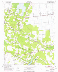
Editions of this 1950 Pinetown Map
2 editions found
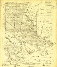
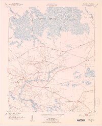
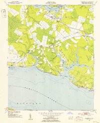
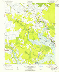
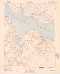
Other maps of this area
1914 · Belhaven
USGS Topo · 1:48,000

1916 · Belhaven
USGS Topo · 1:62,500

1943 · Plymouth
USGS Topo · 1:125,000
1951 · Bunyan
USGS Topo · 1:24,000
1951 · Bath
USGS Topo · 1:24,000
1951 · Ransomville
USGS Topo · 1:24,000
1951 · Pantego
USGS Topo · 1:24,000
1953 · Blounts Bay
USGS Topo · 1:24,000

1953 · Rocky Mount
USGS Topo · 1:250,000

1954 · Rocky Mount
USGS Topo · 1:250,000