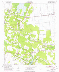
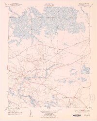
1950 Map of Pinetown
USGS Topo · Published 1977About this map
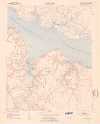
Pinetown serves as a central hub in this mid-century coastal plain survey, situated where the Norfolk Southern railroad crosses the dark waters of Acre Swamp. The landscape is defined by the expansive Pungo Swamp and Bath creek systems, reflecting a rural economy tied to timber and tide. Small rural communities like Terra Ceia and Gaylord are connected by a network of bridges and crossings, including Acre Bridge and Hunters Bridge.
Find a feature on this map
32 named features on this map. Tap any name to fly to it.
Don’t see what you’re looking for? This feature index may not catch every label — zoom into the map to look around manually.
Map Details
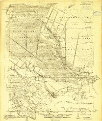
Editions of this 1950 Pinetown Map
2 editions found
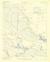
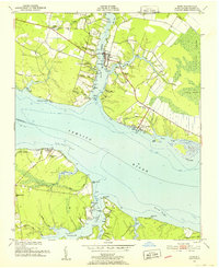
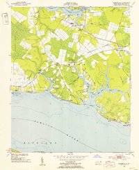
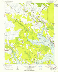
Other maps of this area
1914 · Belhaven
USGS Topo · 1:48,000
1916 · Belhaven
USGS Topo · 1:62,500

1943 · Plymouth
USGS Topo · 1:125,000
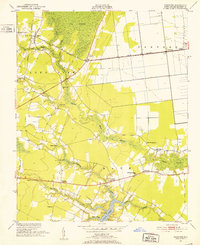
1950 · Pinetown
USGS Topo · 1:24,000
1951 · Bunyan
USGS Topo · 1:24,000
1951 · Bath
USGS Topo · 1:24,000
1951 · Ransomville
USGS Topo · 1:24,000
1951 · Pantego
USGS Topo · 1:24,000
1953 · Blounts Bay
USGS Topo · 1:24,000

1953 · Rocky Mount
USGS Topo · 1:250,000