
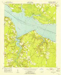
1953 Map of Blounts Bay
USGS Topo · Published 1954About this map
The Pamlico River and Blounts Bay define this mid-century landscape of coastal Beaufort County, where deep-water points and winding guts create a complex shoreline for fishing and recreation. Inland from the river, the geography is marked by small agricultural and social centers such as Martin and Yeats, alongside numerous houses of worship including Ephesus Ch, St Francis Ch, and Gerards Chapel. The road network, featuring Gilead Road and Mauls Point Road, connects these communities to landings and camps like Camp Hardee and Camp Leach.
Find a feature on this map
62 named features on this map. Tap any name to fly to it.
Don’t see what you’re looking for? This feature index may not catch every label — zoom into the map to look around manually.
Map Details
Editions of this 1953 Blounts Bay Map
5 editions found
Other maps of this area

1902 · Vanceboro
USGS Topo · 1:62,500

1903 · Chocowinity
USGS Topo · 1:62,500

1904 · Vanceboro
USGS Topo · 1:62,500

1905 · Chocowinity
USGS Topo · 1:62,500

1905 · Vanceboro
USGS Topo · 1:62,500

1943 · Plymouth
USGS Topo · 1:125,000

1950 · Pinetown
USGS Topo · 1:24,000

1950 · Aurora
USGS Topo · 1:24,000

1950 · Edward
USGS Topo · 1:24,000

1951 · Bunyan
USGS Topo · 1:24,000