
1905 Map of Chocowinity
USGS Topo · Published 1905About this map
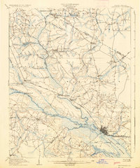
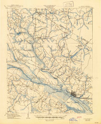
The Tar River and Pamlico River serve as the central arteries for transport and commerce in this early twentieth-century survey of Beaufort and Pitt counties. At the confluence, Washington stands as a primary hub, featuring a dense street grid and The Castle near the waterfront. The surrounding landscape is a complex network of wetlands and creek systems, including Tranter's Creek and Chicod Creek, which supported early industries such as Shepherd Millpond.
Find a feature on this map
79 named features on this map. Tap any name to fly to it.
Don’t see what you’re looking for? This feature index may not catch every label — zoom into the map to look around manually.
Map Details
Editions of this 1905 Chocowinity Map
3 editions found
Other maps of this area

1901 · Parmele
USGS Topo · 1:62,500

1901 · Williamston
USGS Topo · 1:62,500

1902 · Williamston
USGS Topo · 1:62,500

1902 · Parmele
USGS Topo · 1:62,500

1902 · Ayden
USGS Topo · 1:62,500

1902 · Vanceboro
USGS Topo · 1:62,500

1903 · Winterville
USGS Topo · 1:62,500

1903 · Chocowinity
USGS Topo · 1:62,500

1904 · Ayden
USGS Topo · 1:62,500

1904 · Vanceboro
USGS Topo · 1:62,500