
1950 Map of Edward
USGS Topo · Published 1953About this map
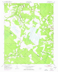
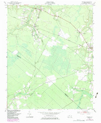
Blounts Creek (P O) and the small settlement of Edward anchor this rural landscape in the early 1950s, where the Atlantic Coast Line railroad cuts a diagonal path through eastern North Carolina. The map reveals a community defined by its watercourses and rural gathering places, with Swift Creek and Blounts Creek winding through the terrain. A dense concentration of country churches like Warren Chapel, St Luke Ch, and Phennia Chapel suggests a dispersed but socially connected population living across Chocowinity and Richland townships.
Find a feature on this map
25 named features on this map. Tap any name to fly to it.
Don’t see what you’re looking for? This feature index may not catch every label — zoom into the map to look around manually.
Map Details
Editions of this 1950 Edward Map
Other maps of this area

1901 · New Bern
USGS Topo · 1:62,500

1902 · Vanceboro
USGS Topo · 1:62,500

1903 · New Bern
USGS Topo · 1:62,500

1904 · Vanceboro
USGS Topo · 1:62,500

1905 · Vanceboro
USGS Topo · 1:62,500

1950 · Aurora
USGS Topo · 1:24,000

1951 · Bath
USGS Topo · 1:24,000

1951 · Hackney
USGS Topo · 1:24,000

1953 · Blounts Bay
USGS Topo · 1:24,000

1953 · Rocky Mount
USGS Topo · 1:250,000