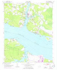
1951 Map of Bath
USGS Topo · Published 1977About this map
Bath sits at the confluence of several tidal waterways, serving as the focal point for this survey along the northern shores of the Pamlico River. The landscape is defined by the fingers of Bath Creek, Back Creek, and Adams Creek, where points like Bonners Pt and Handys Pt mark the transition from water to land. This mid-century record reflects a coastal community tied closely to the river and its numerous guts, such as Teachs Gut and Plum Pt Gut, which weave through the low-lying terrain.
Find a feature on this map
62 named features on this map. Tap any name to fly to it.
Don’t see what you’re looking for? This feature index may not catch every label — zoom into the map to look around manually.
Map Details
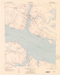
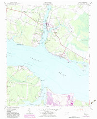
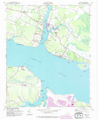
Editions of this 1951 Bath Map
5 editions found
Other maps of this area

1914 · Belhaven
USGS Topo · 1:48,000

1916 · Belhaven
USGS Topo · 1:62,500

1943 · Plymouth
USGS Topo · 1:125,000

1950 · South Creek
USGS Topo · 1:24,000

1950 · Pinetown
USGS Topo · 1:24,000

1950 · Aurora
USGS Topo · 1:24,000

1950 · Edward
USGS Topo · 1:24,000

1951 · Bunyan
USGS Topo · 1:24,000

1951 · Bath
USGS Topo · 1:24,000

1951 · Ransomville
USGS Topo · 1:24,000