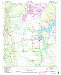
1950 Map of Aurora
USGS Topo · Published 1993About this map
South Creek and its many winding tributaries like Whitehurst Creek and Durham Creek define this coastal Beaufort County landscape. The town of Aurora serves as the central hub, showing a concentrated street grid, a High Sch, and the High Hill Cem nearby. The presence of purple revision overlays indicates significant industrial development, particularly large areas of Tailings and altered terrain surrounding the Beacham Savanna. Historically, the area was tied to the Old Railroad Grade passing through Guilford Station and Edward. Local life is recorded through numerous small rural communities and houses of worship, including Weeping Rachel Ch, St Matthews Ch, and Friendship Ch. Along the water, geographic markers like Deephole Pt and Silverthorn Pt trace the jagged shoreline of the creek as it widens toward the sound.
Find a feature on this map
54 named features on this map. Tap any name to fly to it.
Don’t see what you’re looking for? This feature index may not catch every label — zoom into the map to look around manually.
Map Details
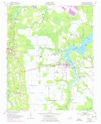
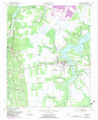
Editions of this 1950 Aurora Map
4 editions found
Other maps of this area

1950 · Vandemere
USGS Topo · 1:24,000

1950 · South Creek
USGS Topo · 1:24,000

1950 · Aurora
USGS Topo · 1:24,000

1950 · Edward
USGS Topo · 1:24,000

1951 · Bath
USGS Topo · 1:24,000

1951 · Ransomville
USGS Topo · 1:24,000

1953 · Blounts Bay
USGS Topo · 1:24,000

1953 · Rocky Mount
USGS Topo · 1:250,000

1954 · Rocky Mount
USGS Topo · 1:250,000
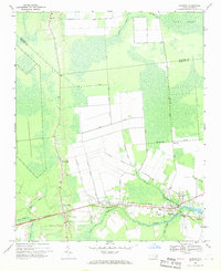
1968 · Bayboro
USGS Topo · 1:24,000