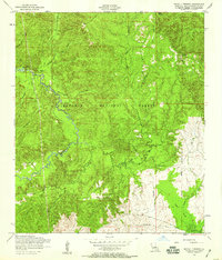
1954 Map of Bayou L'ivrogne
USGS Topo · Published 1958About this map
Kisatchie National Forest covers much of this mid-century landscape in Natchitoches Parish, where the winding course of Kisatchie Bayou and its many tributaries define the local geography. Small settlements and named landmarks like Beasley Spring and the village of Mink are reached via unimproved dirt roads and light-duty trails. The presence of several dismantled railroad corridors suggests a shift in the region's timber-driven economy as logging infrastructure was removed or replaced by the 1950s.
Find a feature on this map
18 named features on this map. Tap any name to fly to it.
Don’t see what you’re looking for? This feature index may not catch every label — zoom into the map to look around manually.
Map Details
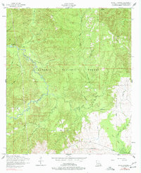
Editions of this 1954 Bayou L'ivrogne Map
2 editions found
Other maps of this area

1937 · Chopin SW
USGS Topo · 1:31,680

1937 · Chopin NW
USGS Topo · 1:31,680

1937 · Bellwood
USGS Topo · 1:31,680

1937 · Montgomery
USGS Topo · 1:62,500

1937 · Cloutierville
USGS Topo · 1:31,680

1937 · Cypress
USGS Topo · 1:31,680

1942 · Kisatchie
USGS Topo · 1:62,500

1942 · Montgomery
USGS Topo · 1:62,500

1943 · Kisatchie
USGS Topo · 1:62,500

1943 · Provencal
USGS Topo · 1:62,500