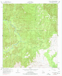
1954 Map of Bayou L'ivrogne
USGS Topo · Published 1977About this map
Kisatchie National Forest dominates this mid-century landscape in Natchitoches Parish, revealing a remote region defined by dense creek networks and early timber industry footprints. The small settlement of Mink stands as a focal point in the southern portion of the map, situated near the headwaters of Little Bayou Pierre. The terrain is characterized by winding watercourses like Kisatchie Bayou and the titular Bayou L'ivrogne, which carve through the wooded hills. Significant for genealogists and local historians, the survey identifies several family-named landmarks and essential rural infrastructure, including Beasley Cemetery, Key Cemetery, and a School House. A winding dismantled railroad cuts across the center and southeast, tracing the path of former logging operations through the forest. To the northeast, the Red Hill Lookout Tower serves as a prominent landmark overlooking the surrounding piney woods and the marshy reaches of Devil Swamp.
Find a feature on this map
24 named features on this map. Tap any name to fly to it.
Don’t see what you’re looking for? This feature index may not catch every label — zoom into the map to look around manually.
Map Details
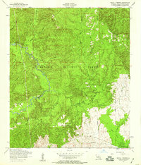
Editions of this 1954 Bayou L'ivrogne Map
2 editions found
Other maps of this area

1937 · Chopin SW
USGS Topo · 1:31,680

1937 · Chopin NW
USGS Topo · 1:31,680

1937 · Bellwood
USGS Topo · 1:31,680

1937 · Montgomery
USGS Topo · 1:62,500

1937 · Cloutierville
USGS Topo · 1:31,680

1937 · Cypress
USGS Topo · 1:31,680

1942 · Kisatchie
USGS Topo · 1:62,500

1942 · Montgomery
USGS Topo · 1:62,500

1943 · Kisatchie
USGS Topo · 1:62,500

1943 · Provencal
USGS Topo · 1:62,500