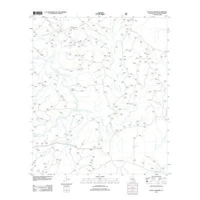
2012 Map of Bayou Livrogne
USGS Topo · Published 2012About this map
Mink stands at a quiet crossroads in Natchitoches Parish, surrounded by the intricate drainage networks of the Kisatchie National Forest. The landscape is defined by the winding paths of Bayou L'Ivrogne and the Little Kisatchie Bayou, which carve through the timberlands. Local family history is preserved at Beasley Cem and Key Cem, while the area's forestry heritage is marked by the Red Dirt Lookout Tower. Small tributaries like School House Cr and Rocky Br suggest the locations of early rural infrastructure and land use.
Find a feature on this map
33 named features on this map. Tap any name to fly to it.
Don’t see what you’re looking for? This feature index may not catch every label — zoom into the map to look around manually.
Map Details
Editions of this 2012 Bayou Livrogne Map
This is the sole edition of this map. No revisions or reprints were ever made.
Other maps of this area

1937 · Chopin SW
USGS Topo · 1:31,680

1937 · Chopin NW
USGS Topo · 1:31,680

1937 · Bellwood
USGS Topo · 1:31,680

1937 · Montgomery
USGS Topo · 1:62,500

1937 · Cloutierville
USGS Topo · 1:31,680

1937 · Cypress
USGS Topo · 1:31,680

1942 · Kisatchie
USGS Topo · 1:62,500

1942 · Montgomery
USGS Topo · 1:62,500

1943 · Kisatchie
USGS Topo · 1:62,500

1943 · Provencal
USGS Topo · 1:62,500