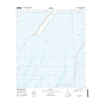
2015 Map of Bayou Sauveur
USGS Topo · Published 2015About this map
Bayou du Large meanders through the northwest corner of this coastal landscape, flanked by La 315 and Bayou Dularge Rd. The region is defined by a dense network of tidal waterways and marshlands, where significant channels like Bayou Grand Caillou and Bayou Sauveur drain toward Moncleuse Bay and Bay Long. The presence of Fohs Canal and numerous smaller distributaries like Little Lewis Bayou and Treasure Bayou illustrates the complex hydrologic character of Terrebonne Parish. Settlement is concentrated along the natural levees of the larger bayous, while the remainder of the area remains a labyrinth of water and wetland. This survey provides a precise look at the drainage patterns and access roads that support the local maritime and petroleum-adjacent industries in the early 21st century.
Find a feature on this map
25 named features on this map. Tap any name to fly to it.
Don’t see what you’re looking for? This feature index may not catch every label — zoom into the map to look around manually.
Map Details
Editions of this 2015 Bayou Sauveur Map
This is the sole edition of this map. No revisions or reprints were ever made.
Other maps of this area

1894 · Bayou De Large
USGS Topo · 1:62,500

1894 · Dulac
USGS Topo · 1:62,500

1935 · Cocodrie
USGS Topo · 1:31,680

1935 · Theriot
USGS Topo · 1:31,680

1935 · Lake Mechant
USGS Topo · 1:31,680

1935 · Lake Quitman
USGS Topo · 1:31,680

1935 · Lake Gero
USGS Topo · 1:31,680

1935 · Lake Penchant
USGS Topo · 1:31,680

1940 · Bayou Du Large
USGS Topo · 1:62,500

1941 · Bayou Du Large
USGS Topo · 1:62,500