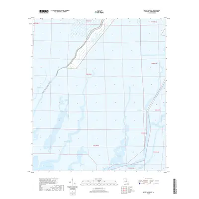
2020 Map of Bayou Sauveur
USGS Topo · Published 2020About this map
Bayou Sauveur winds through the intricate coastal marshlands of Terrebonne Parish, illustrating the complex hydrology of south Louisiana. The landscape is defined by its extensive network of branching waterways, where larger channels like Bayou du Large and Bayou Grand Caillou serve as primary arteries for the region's transport and drainage. Human presence is concentrated along the higher ground of the levees, specifically following the corridor of Bayou Dularge Rd and Brady Rd. This 2020 survey captures the expansive open waters of Bay Long, Moncleuse Bay, and Bay de l'Ouest, highlighting the ongoing transition between marsh and open sea. Navigational features like the Fohs Canal and numerous smaller distributaries, such as Little Lewis Bayou and Treasure Bayou, demonstrate the era's reliance on both natural and engineered water systems for movement through the wetlands.
Find a feature on this map
25 named features on this map. Tap any name to fly to it.
Don’t see what you’re looking for? This feature index may not catch every label — zoom into the map to look around manually.
Map Details
Editions of this 2020 Bayou Sauveur Map
This is the sole edition of this map. No revisions or reprints were ever made.
Other maps of this area

1894 · Bayou De Large
USGS Topo · 1:62,500

1894 · Dulac
USGS Topo · 1:62,500

1935 · Cocodrie
USGS Topo · 1:31,680

1935 · Theriot
USGS Topo · 1:31,680

1935 · Lake Mechant
USGS Topo · 1:31,680

1935 · Lake Quitman
USGS Topo · 1:31,680

1935 · Lake Gero
USGS Topo · 1:31,680

1935 · Lake Penchant
USGS Topo · 1:31,680

1940 · Bayou Du Large
USGS Topo · 1:62,500

1941 · Bayou Du Large
USGS Topo · 1:62,500