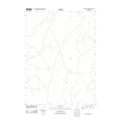
2012 Map of Bear Mountain
USGS Topo · Published 2012About this map
Bear Mountain rises above a landscape defined by an intricate network of waterways and remote access roads in this 2012 survey. The drainage patterns are clearly marked by the converging forks of the creeks, including W Fork Bear Cr, Bear Cr, and E Fork Bear Cr to the north, while Bolton Cr winds through the central portion of the quadrangle. The map reflects a region primarily shaped by natural topography rather than dense settlement, with only a few named thoroughfares like Bolton Creek Rd, Dry Creek Rd, and Spindle Top Rd providing a footprint of human activity. This documentation captures the precise alignment of canyon drainages such as N Fork Canyon Cr and S Fork Canyon Cr, offering essential data for those studying the hydrography and physical geography of this part of Wyoming.
Find a feature on this map
11 named features on this map. Tap any name to fly to it.
Don’t see what you’re looking for? This feature index may not catch every label — zoom into the map to look around manually.
Map Details
Editions of this 2012 Bear Mountain Map
This is the sole edition of this map. No revisions or reprints were ever made.
Other maps of this area

1950 · Alcova SE
USGS Topo · 1:24,000

1950 · Alcova
USGS Topo · 1:24,000

1951 · Bear Mountain
USGS Topo · 1:24,000

1951 · Bear Spring
USGS Topo · 1:24,000

1953 · Fourmile Point
USGS Topo · 1:24,000

1953 · Fourmile Ridge
USGS Topo · 1:24,000

1955 · Casper
USGS Topo · 1:250,000

1958 · Casper
USGS Topo · 1:250,000

1960 · Twin Buttes
USGS Topo · 1:24,000

1960 · Wild Irish Reservoir
USGS Topo · 1:24,000