Loading...
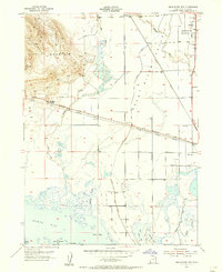
Loading map...1955 Map of Bear River City
USGS Topo · Published 1956About this map
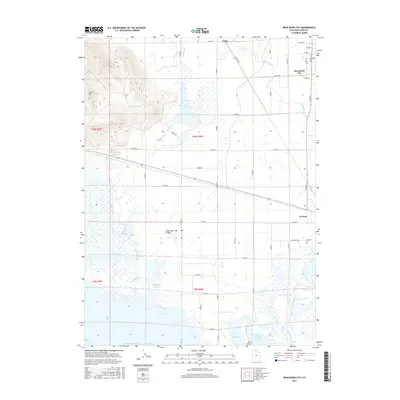
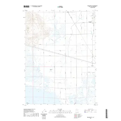
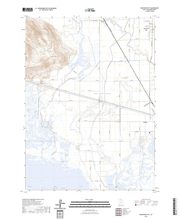
Bear River City stands at the edge of the Bear River Valley in this mid-1950s survey, illustrating a landscape defined by industrial transport and irrigation. The transition from the steep slopes of Little Mountain to the wetlands of North Bay is marked by the Old Promontory Road and the Union Pacific Railroad Grade, historical routes that cut across the northern end of the Great Salt Lake marshes.
Find a feature on this map
32 named features on this map. Tap any name to fly to it.
Don’t see what you’re looking for? This feature index may not catch every label — zoom into the map to look around manually.
Map Details
Date Portrayed1955
Date Published1956
PublisherU.S. Geological Survey
Map TypeTopographic
Scale1:24,000
Physical Dimensions22 x 26.9 inches
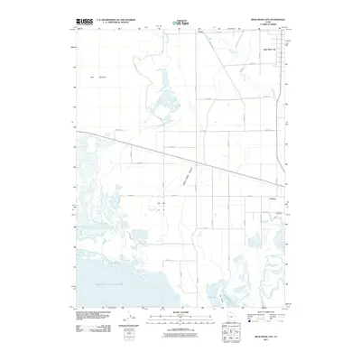
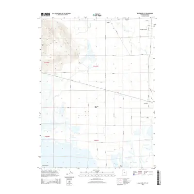
Editions of this 1955 Bear River City Map
This is the sole edition of this map. No revisions or reprints were ever made.
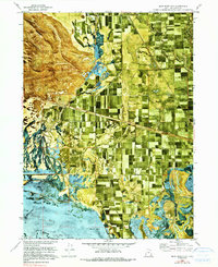
Historical Maps of Bear River City Through Time
7 maps found
Featured Locations
Source Details
SourceU.S. Geological Survey
CopyrightPublic Domain