Loading...
Loading map...1972 Map of Bear River City
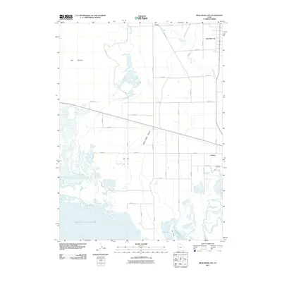
USGS Topo · Published 1991About this map
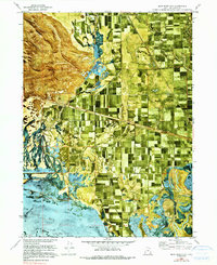
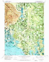
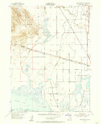
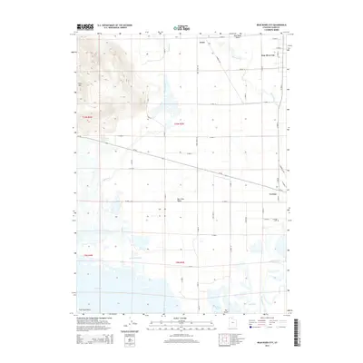
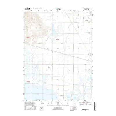
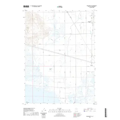
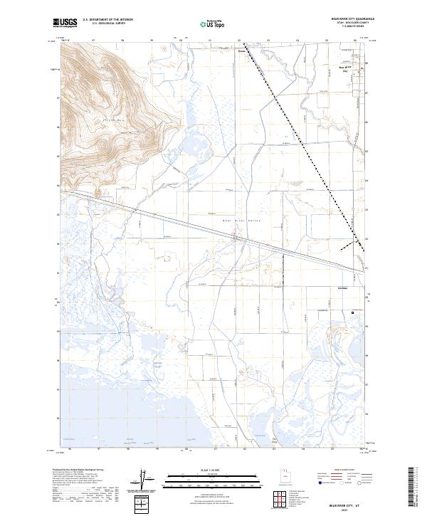
Bear River winds through this northern Utah landscape, defining a complex corridor of wetlands, agricultural tracts, and historic transportation routes. The 1970s orthophotomosaic reveals the dense network of irrigation and drainage surrounding settlements like Bear River City and Corinne. Significant infrastructure is visible across the flats, including the Central Pacific Railroad and an Old Railroad Grade that cuts across the valley floor toward Little Mountain.
Find a feature on this map
27 named features on this map. Tap any name to fly to it.
Don’t see what you’re looking for? This feature index may not catch every label — zoom into the map to look around manually.
Map Details
Date Portrayed1972
Date Published1991
PublisherU.S. Geological Survey
Map TypeTopographic
Scale1:24,000
Physical Dimensions21.9 x 26.8 inches
Editions of this 1972 Bear River City Map
2 editions found
Historical Maps of Bear River City Through Time
7 maps found
Featured Locations
Source Details
SourceU.S. Geological Survey
CopyrightPublic Domain