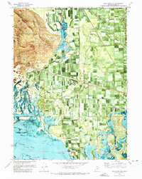
1972 Map of Bear River City
USGS Topo · Published 1973About this map
The Bear River delta and the agricultural lowlands of Box Elder County are depicted here through a combination of traditional topographic mapping and aerial orthophotography. The settlement at Bear River City (Bear River) sits near the confluence where the Malad River joins the larger waterway, serving as a focal point for the surrounding irrigated fields and canal networks. To the south, the landscape transitions into the marshy complex of North Bay and East Bay, where features like Appledale Slough and Klondike Lake indicate the intricate hydrology of the Great Salt Lake shoreline.
Find a feature on this map
32 named features on this map. Tap any name to fly to it.
Don’t see what you’re looking for? This feature index may not catch every label — zoom into the map to look around manually.
Map Details
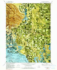
Editions of this 1972 Bear River City Map
2 editions found
Other maps of this area

1954 · Whistler Canal
USGS Topo · 1:24,000

1954 · Public Shooting Grounds
USGS Topo · 1:24,000

1954 · Brigham City
USGS Topo · 1:250,000

1955 · Mouth of Bear River
USGS Topo · 1:24,000

1955 · Bear River City
USGS Topo · 1:24,000

1955 · Willard
USGS Topo · 1:24,000

1955 · Brigham City
USGS Topo · 1:24,000

1958 · Brigham City
USGS Topo · 1:250,000

1961 · Thatcher Mountain
USGS Topo · 1:62,500

1961 · Honeyville
USGS Topo · 1:24,000