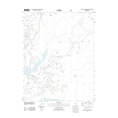
2012 Map of Bear River Reservoir
USGS Topo · Published 2012About this map
Lower Bear River Reservoir and the northern reaches of Salt Springs Reservoir anchor this high-elevation landscape in El Dorado County. The terrain is defined by the steep drainage of the Bear River and Cole Cr, showing a concentration of backcountry camps and recreational settlements. Clusters of activity are evident at LDS Camp, Camp Winton, and Votaw Camp, alongside more isolated outposts like the Cole Creek Cabin and Dufrene Camp.
Find a feature on this map
38 named features on this map. Tap any name to fly to it.
Don’t see what you’re looking for? This feature index may not catch every label — zoom into the map to look around manually.
Map Details
Editions of this 2012 Bear River Reservoir Map
This is the sole edition of this map. No revisions or reprints were ever made.
Other maps of this area

1889 · Pyramid Peak
USGS Topo · 1:125,000

1891 · Big Trees
USGS Topo · 1:125,000

1891 · Pyramid Peak
USGS Topo · 1:125,000

1894 · Big Trees
USGS Topo · 1:125,000

1895 · Pyramid Peak
USGS Topo · 1:125,000

1896 · Pyramid Peak
USGS Topo · 1:125,000

1897 · Big Trees
USGS Topo · 1:125,000

1901 · Big Trees
USGS Topo · 1:125,000

1947 · Sacramento
USGS Topo · 1:250,000

1948 · Sacramento
USGS Topo · 1:250,000