Loading...
Loading map...2021 Map of Bear Valley
USGS Topo · Published 2021About this map
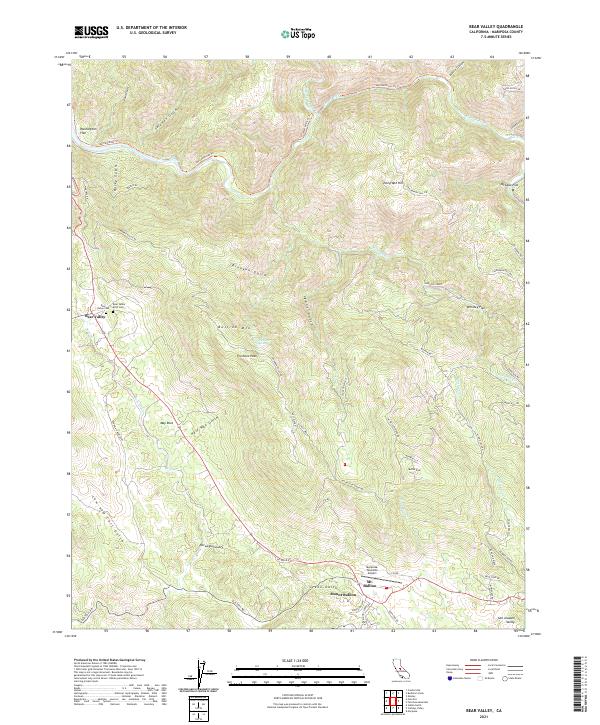
Bear Valley and Mount Bullion anchor this study of the Gold Country interior, where the landscape is defined by a dense network of gulches and ridges. The presence of the Bear Valley Cem and Bear Valley IOOF Cem points to the long-standing community roots in this section of Mariposa County. The terrain rises sharply from Washington Flat in the northwest toward Bullion Mtn and Fremont Peak, illustrating the transition from the San Joaquin Valley floor into the high Sierras.
Find a feature on this map
68 named features on this map. Tap any name to fly to it.
Don’t see what you’re looking for? This feature index may not catch every label — zoom into the map to look around manually.
Map Details
Date Portrayed2021
Date Published2021
PublisherU.S. Geological Survey
Map TypeTopographic
Scale1:24000
Physical Dimensions24 x 29 inches
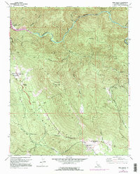
Editions of this 2021 Bear Valley Map
This is the sole edition of this map. No revisions or reprints were ever made.
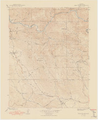
Historical Maps of Mariposa County Through Time
3 maps found
Featured Locations
Source Details
SourceU.S. Geological Survey
CopyrightPublic Domain