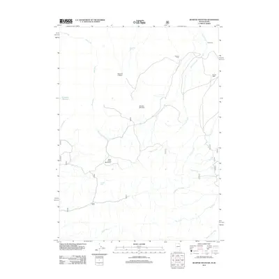
2012 Map of Bearpaw Mountain
USGS Topo · Published 2012About this map
Bearpaw Mountain and the surrounding high desert of Elko County define this 2012 survey, situated within a vast drainage network that feeds into the Diamond A Desert. The landscape is characterized by its hydrologic complexity, where numerous seasonal and perennial water sources like Jim Bob Spring and Zenobia Spring sustain the local ecosystem. The map reveals a pattern of dispersed rangeland settlement, specifically identifying the Knight Ranch, Strickland Ranch, and Alvarez Ranch as significant markers of human activity in this arid environment.
Find a feature on this map
22 named features on this map. Tap any name to fly to it.
Don’t see what you’re looking for? This feature index may not catch every label — zoom into the map to look around manually.
Map Details
Editions of this 2012 Bearpaw Mountain Map
This is the sole edition of this map. No revisions or reprints were ever made.
Other maps of this area

1936 · Rowland
USGS Topo · 1:48,000

1940 · Rowland
USGS Topo · 1:62,500

1943 · Jarbidge
USGS Topo · 1:62,500

1945 · Jarbidge
USGS Topo · 1:62,500

1955 · Twin Falls
USGS Topo · 1:250,000

1955 · Wells
USGS Topo · 1:250,000

1958 · Wells
USGS Topo · 1:250,000

1958 · Twin Falls
USGS Topo · 1:250,000

1961 · Wells
USGS Topo · 1:250,000

1979 · Cowan Reservoir
USGS Topo · 1:24,000