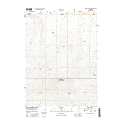
2014 Map of Bearpaw Mountain
USGS Topo · Published 2014About this map
Bearpaw Mtn dominates the central high ground of this high-desert landscape where the border between Idaho and Nevada meets. The terrain transitions from the open flats of the Diamond A Desert in the north to the jagged drainage systems of the Buck Creek Mountains in the south. Within the Humboldt National Forest, the map reveals a critical network of water sources essential for survival in this arid environment, including Zenobia Spring, Jim Bob Spring, and the Tub Spring Reservoir. The deep incision of Deep Creek Canon and Rattlesnake Canyon highlights the erosive force of seasonal waters like Deep Cr and Murphy Wash. This topographic study documents the infrastructure of grazing and land management in Elko County, featuring several Forest Service development roads and named landmarks like Taylor Pocket and Johns Gulch.
Find a feature on this map
33 named features on this map. Tap any name to fly to it.
Don’t see what you’re looking for? This feature index may not catch every label — zoom into the map to look around manually.
Map Details
Editions of this 2014 Bearpaw Mountain Map
This is the sole edition of this map. No revisions or reprints were ever made.
Other maps of this area

1936 · Rowland
USGS Topo · 1:48,000

1940 · Rowland
USGS Topo · 1:62,500

1943 · Jarbidge
USGS Topo · 1:62,500

1945 · Jarbidge
USGS Topo · 1:62,500

1955 · Twin Falls
USGS Topo · 1:250,000

1955 · Wells
USGS Topo · 1:250,000

1958 · Wells
USGS Topo · 1:250,000

1958 · Twin Falls
USGS Topo · 1:250,000

1961 · Wells
USGS Topo · 1:250,000

1979 · Cowan Reservoir
USGS Topo · 1:24,000