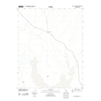
2012 Map of Beatty Junction
USGS Topo · Published 2012About this map
Cottonball Basin dominates this landscape, revealing a salt-crusted expanse where water sources are rare and vital. This 2012 topographic study of the Inyo County desert highlights the isolation of West Side Borax Camp, a site tied to the area's industrial mining history. The map traces the critical transit corridors of the Daylight Pass Cutoff and State Route 178 190, which meet at the small settlement of Beatty Junction. Hydrological features like Sulphur Spring, Salt Springs, and the ephemeral Salt Cr illustrate the precarious water network of the valley floor, providing essential context for understanding the environmental challenges faced by early borax miners and travelers passing through this arid basin.
Find a feature on this map
8 named features on this map. Tap any name to fly to it.
Don’t see what you’re looking for? This feature index may not catch every label — zoom into the map to look around manually.
Map Details
Editions of this 2012 Beatty Junction Map
This is the sole edition of this map. No revisions or reprints were ever made.
Other maps of this area

1908 · Furnace Creek
USGS Topo · 1:250,000

1908 · Ballarat
USGS Topo · 1:250,000

1910 · Furnace Creek
USGS Topo · 1:250,000

1913 · Ballarat
USGS Topo · 1:250,000

1942 · Bullfrog
USGS Topo · 1:125,000

1948 · Death Valley
USGS Topo · 1:250,000

1952 · Chloride Cliff
USGS Topo · 1:50,000

1952 · Stovepipe Wells
USGS Topo · 1:62,500

1952 · Furnace Creek
USGS Topo · 1:62,500

1952 · Emigrant Canyon
USGS Topo · 1:62,500