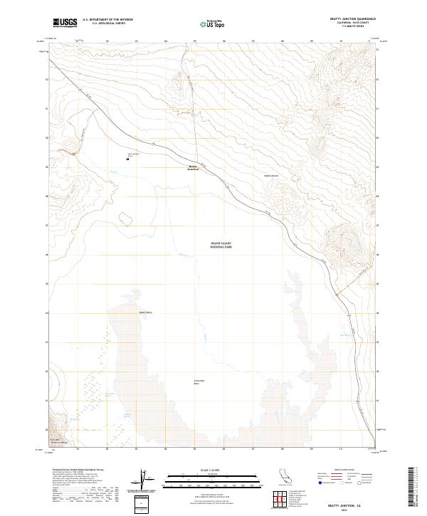
2021 Map of Beatty Junction
USGS Topo · Published 2021About this map
Beatty Junction serves as a critical desert crossroads where SR 190 meets the Beatty Cutoff Road, marking a low-lying expanse within Death Valley National Park. The landscape is defined by the hydrologic extremes of the Mojave Desert, ranging from the brine-crusted flats of Cottonball Basin and the vegetated Cottonball Marsh to the rising slopes of Tucki Mtn in the Panamint Range. Local history is anchored by the Jean Lemoigne Grave, a lone landmark in the arid terrain west of the junction. Tracing the path of Salt Creek reveals a delicate ecosystem supported by Salt Springs and Sulphur Spring, illustrating how water sources dictated travel routes like the Salt Creek Road and the Indian Pass Trl during the region's early exploration and modern preservation.
Find a feature on this map
24 named features on this map. Tap any name to fly to it.
Don’t see what you’re looking for? This feature index may not catch every label — zoom into the map to look around manually.
Map Details
Editions of this 2021 Beatty Junction Map
This is the sole edition of this map. No revisions or reprints were ever made.
Other maps of this area

1908 · Furnace Creek
USGS Topo · 1:250,000

1908 · Ballarat
USGS Topo · 1:250,000

1910 · Furnace Creek
USGS Topo · 1:250,000

1913 · Ballarat
USGS Topo · 1:250,000

1942 · Bullfrog
USGS Topo · 1:125,000

1948 · Death Valley
USGS Topo · 1:250,000

1952 · Chloride Cliff
USGS Topo · 1:50,000

1952 · Stovepipe Wells
USGS Topo · 1:62,500

1952 · Furnace Creek
USGS Topo · 1:62,500

1952 · Emigrant Canyon
USGS Topo · 1:62,500