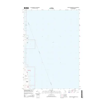
2014 Map of Beaver Island North OE E
USGS Topo · Published 2014About this map
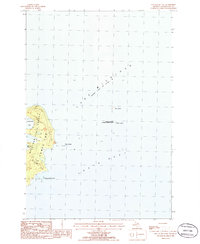
Beaver Island's eastern shoreline meets the expanse of Lake Michigan in this 2014 survey. The coastal geography is defined by a series of prominent landforms, including Luney Point, Sandy Point, and Conns Point, which frame the indentations of Little Sand Bay and Sand Bay. Further south, the terrain rises at Martins Bluff, a significant elevation overlooking the water. The map traces the island's infrastructure through routes like E Side Dr and the Johnny Martins Trl, while the Beaver Island Fry route marks the vital maritime connection to the mainland. This document captures the island's landscape before further modern development, highlighting the naming of coastal points and local trails like Point La Par that reflect the area's heritage and topographic character.
Find a feature on this map
14 named features on this map. Tap any name to fly to it.
Don’t see what you’re looking for? This feature index may not catch every label — zoom into the map to look around manually.
Map Details
Editions of this 2014 Beaver Island North OE E Map
This is the sole edition of this map. No revisions or reprints were ever made.
Other maps of this area

1955 · Hog Island
USGS Topo · 1:62,500

1955 · Cheboygan
USGS Topo · 1:250,000

1956 · Beaver Island
USGS Topo · 1:62,500

1958 · Cheboygan
USGS Topo · 1:250,000
1980 · Garden Island West
USGS Topo · 1:24,000

1984 · Beaver Island
USGS Topo · 1:100,000

1986 · Beaver Island North
USGS Topo · 1:24,000
1986 · Beaver Island South
USGS Topo · 1:24,000
1986 · Hog Island West
USGS Topo · 1:24,000
1986 · Hog Island East
USGS Topo · 1:24,000