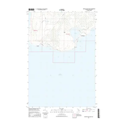
2017 Map of Beaver Island South
USGS Topo · Published 2017About this map
Beaver Island emerges from the waters of Lake Michigan in this 2017 survey, showcasing the southern reaches of the archipelago. The landscape is defined by a dense network of marshes and inland waters, most notably Lake Geneserath and Millers Marsh. The road network, including W Side Rd and E Side Dr, circles the island's perimeter, connecting remote coastal points like Cheyenne Point and Kelly Point.
Find a feature on this map
25 named features on this map. Tap any name to fly to it.
Don’t see what you’re looking for? This feature index may not catch every label — zoom into the map to look around manually.
Map Details
Editions of this 2017 Beaver Island South Map
This is the sole edition of this map. No revisions or reprints were ever made.
Other maps of this area

1954 · Charlevoix
USGS Topo · 1:62,500

1955 · Cheboygan
USGS Topo · 1:250,000

1956 · Beaver Island
USGS Topo · 1:62,500

1958 · Cheboygan
USGS Topo · 1:250,000

1984 · Beaver Island
USGS Topo · 1:100,000

1984 · Charlevoix
USGS Topo · 1:100,000

1986 · High Island
USGS Topo · 1:24,000

1986 · Beaver Island North
USGS Topo · 1:24,000
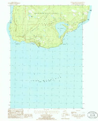
1986 · Beaver Island South
USGS Topo · 1:24,000

2011 · Beaver Island North OE E
USGS Topo · 1:24,000