
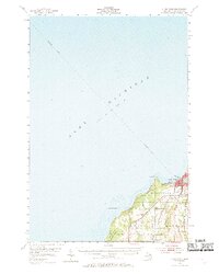
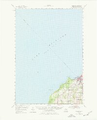
1954 Map of Charlevoix
USGS Topo · Published 1955About this map
The port town of Charlevoix serves as the focal point of this coastal survey, where the narrow passage of the Pine R connects the open waters of Lake Michigan to the protected harbor of Round L. The mid-century landscape is defined by its transition from maritime activity to inland agriculture and forestry, with the Chesapeake and Ohio railroad corridor cutting through the township of Marion. Inland, the terrain is marked by smaller settlements like Birch Hills and Barnard, and the sprawling reaches of the Pigeon River State Forest. This period shows the development of local infrastructure including the Charlevoix Airport and various drainage features such as Mc Geagh Creek and Inwood Creek, which feed into the lake. The inclusion of a submarine cable route stretching across the lake floor towards the northwest highlights the area's role in the broader regional communication network of the 1950s.
Find a feature on this map
22 named features on this map. Tap any name to fly to it.
Don’t see what you’re looking for? This feature index may not catch every label — zoom into the map to look around manually.
Map Details
Editions of this 1954 Charlevoix Map
3 editions found
Other maps of this area

1954 · Central Lake
USGS Topo · 1:62,500

1955 · Cheboygan
USGS Topo · 1:250,000

1956 · Beaver Island
USGS Topo · 1:62,500

1957 · Northport
USGS Topo · 1:62,500

1958 · Cheboygan
USGS Topo · 1:250,000

1958 · Cross Village
USGS Topo · 1:62,500

1958 · Bayshore
USGS Topo · 1:62,500

1961 · Boyne City
USGS Topo · 1:62,500

1975 · Boyne City NW
USGS Topo · 1:24,000
1983 · Ellsworth
USGS Topo · 1:25,000