Old Maps of Norwood Township, Michigan
Explore 27 old maps of Norwood Township, spanning from 1954 to today. These high-resolution historic maps reveal how streets, neighborhoods, landmarks, and natural features evolved over time — perfect for genealogy, metal detecting, research, and local history exploration.
What you can do with these maps:
- See how Norwood Township changed over time: Compare historical maps to modern-day views to trace roads, homesites, rail lines & more.
- View detailed metadata: Each map includes creators, publishers, year, scale, and archive source.
- Overlay maps with satellite & LiDAR: Visualize the past alongside modern tools to explore terrain & human change.
- Trusted historical sources: Maps sourced from the USGS, Library of Congress, and other archives.
- Access maps your way: View online, download high-res files, or order prints for personal or research use.
Start exploring old maps of Norwood Township to uncover forgotten places, hidden landmarks, and the deep history beneath your feet.
Norwood Township, MI maps
(27)- 1954 Map of Central Lake, 1955 Print
 1954 Central Lake1955 Print · USGSNorthern Antrim County in the mid-fifties is defined by the winding shores of Torch Lake and the inland Chain of Lakes. Local historians can trace the foundations of Central Lake and rural landmarks like the Greenwood Grange Sch or Antrim Cem.2 unique versions available
 - 1954 Map of Charlevoix, 1955 Print
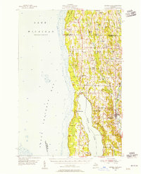
 1954 Charlevoix1955 Print · USGSThe Lake Michigan shoreline at Charlevoix is captured here in the mid-fifties, showing the vital connection between Round L and the open lake. Genealogists and historians can trace the Chesapeake and Ohio rail line, Brookside Cem, and the old settlement of Barnard.3 unique versions available
 - 1955 Map of Cheboygan, 1964 Print
 1955 Cheboygan1964 Print · USGSNorthern Michigan in the mid-fifties is a landscape of dense timber and deep water, showing the region just as the road network began to modernize. Trace family roots in lakeside towns like St Ignace and Petoskey, or follow the historic tracks of the Pennsylvania RR and New York Central RR.5 unique versions available
 - 1958 Map of Cheboygan
 1958 Cheboygan1958 Print · USGSThe tip of Michigan's Lower Peninsula and the surrounding Great Lakes islands are shown here in the late fifties, during the peak of the rail-and-ferry era. Trace the paths of the Pennsylvania RR and explore lakeside settlements like St James, Petoskey, and Indian River.2 unique versions available
 - 1983 Map of Atwood, 1984 Print
 1983 Atwood1984 Print · USGSThe Lake Michigan coast of Antrim County is captured here in the early eighties, showcasing the rural landscapes between Grand Traverse Bay and the inland chain of lakes. Researchers can trace family roots at Antrim Cemetery or locate historic local landmarks like The Wayside Chapel and the Bell Tower Church.2 unique versions available
 - 1983 Map of Charlevoix, 1984 Print
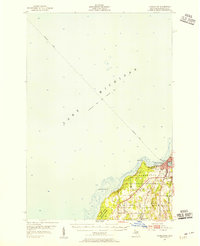
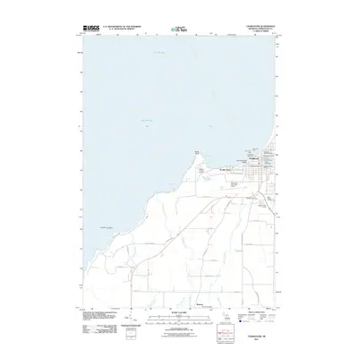
 1983 Charlevoix1984 Print · USGSThe Lake Michigan shoreline at Charlevoix is captured here in the early eighties, showing the town's evolution between the lake and its inner harbor. Researchers can trace land use through the Municipal Airport, Brookside Cem, and the roads of Barnard.
 - 1984 Map of Charlevoix, 1985 Print
 1984 Charlevoix1985 Print · USGSNorthern Michigan’s coastal peninsulas and deep inland lakes are captured here in the mid-eighties, showing the region's unique maritime and rail connectivity. Researchers can trace historic family-named landmarks and infrastructure like Woolsey Memorial Airport, Barnard Ch, and the Chesapeake and Ohio RR.2 unique versions available
 - 2011 Map of Atwood OE W, 2011 Print
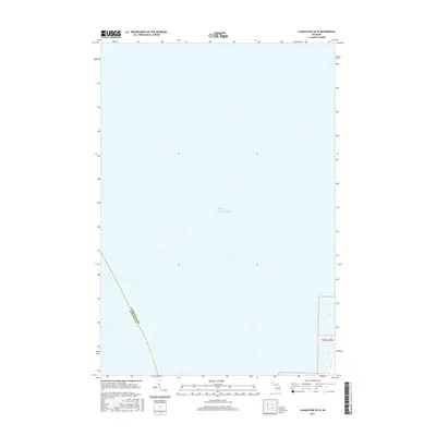
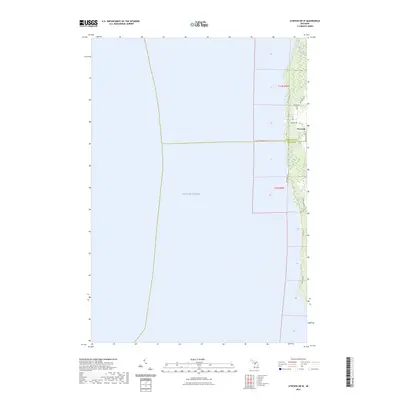
 2011 Atwood OE W2011 Print · USGSCovers Norwood Township, including Norwood, Banks Township, and other nearby areas
 - 2011 Map of Atwood, 2011 Print
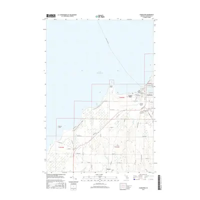
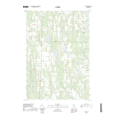
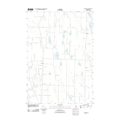 2011 Atwood2011 Print · USGSCovers Norwood Township, including Ellsworth, Atwood, and other nearby areas
 - 2011 Map of Charlevoix OE W, 2011 Print
 2011 Charlevoix OE W2011 Print · USGSCovers Norwood Township, including Charlevoix County, United States, and other nearby areas
 - 2011 Map of Charlevoix, 2011 Print
 2011 Charlevoix2011 Print · USGSCovers Norwood Township, including Charlevoix, Charlevoix Township, and other nearby areas
 - 2014 Map of Charlevoix OE W, 2014 Print
 2014 Charlevoix OE W2014 Print · USGSCovers Norwood Township, including Charlevoix County, United States, and other nearby areas
 - 2014 Map of Atwood OE W, 2014 Print
 2014 Atwood OE W2014 Print · USGSCovers Norwood Township, including Norwood, Banks Township, and other nearby areas
 - 2014 Map of Atwood, 2014 Print
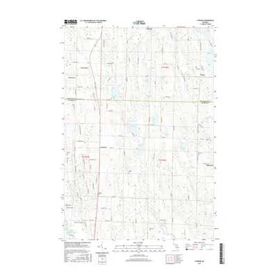
 2014 Atwood2014 Print · USGSCovers Norwood Township, including Ellsworth, Atwood, and other nearby areas
 - 2014 Map of Charlevoix, 2014 Print
 2014 Charlevoix2014 Print · USGSCovers Norwood Township, including Charlevoix, Charlevoix Township, and other nearby areas
 - 2017 Map of Charlevoix, 2017 Print
 2017 Charlevoix2017 Print · USGSCovers Norwood Township, including Charlevoix, Charlevoix Township, and other nearby areas
 - 2017 Map of Charlevoix OE W, 2017 Print
 2017 Charlevoix OE W2017 Print · USGSCovers Norwood Township, including Charlevoix County, United States, and other nearby areas
 - 2017 Map of Atwood, 2017 Print
 2017 Atwood2017 Print · USGSCovers Norwood Township, including Ellsworth, Atwood, and other nearby areas
 - 2017 Map of Atwood OE W, 2017 Print
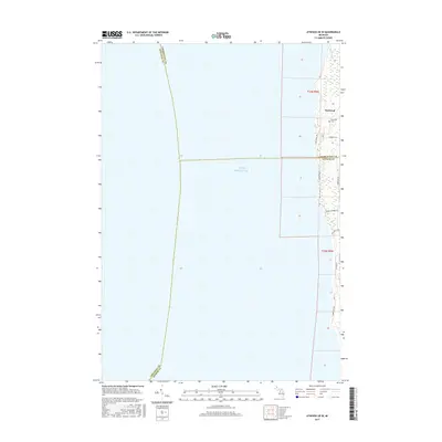 2017 Atwood OE W2017 Print · USGSCovers Norwood Township, including Norwood, Banks Township, and other nearby areas
 - 2019 Map of Atwood OE W, 2019 Print
 2019 Atwood OE W2019 Print · USGSCovers Norwood Township, including Norwood, Banks Township, and other nearby areas
 - 2019 Map of Charlevoix OE W, 2019 Print
 2019 Charlevoix OE W2019 Print · USGSCovers Norwood Township, including Charlevoix County, United States, and other nearby areas
 - 2019 Map of Charlevoix, 2019 Print
 2019 Charlevoix2019 Print · USGSCovers Norwood Township, including Charlevoix, Charlevoix Township, and other nearby areas
 - 2019 Map of Atwood, 2019 Print
 2019 Atwood2019 Print · USGSCovers Norwood Township, including Ellsworth, Atwood, and other nearby areas
 - 2023 Map of Atwood, 2023 Print
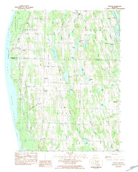
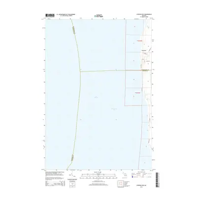
 2023 Atwood2023 Print · USGSThe rural lake country of Antrim and Charlevoix counties is detailed here in this recent survey. Researchers can locate family landmarks along Old Dixie Hwy and trace historical burials at the Atwood Cem, Antrim Cem, or Ellsworth Cem.
 - 2023 Map of Atwood OE W, 2023 Print
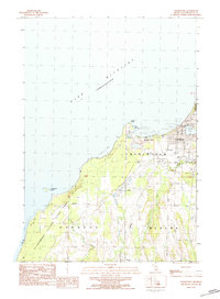
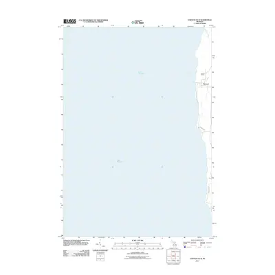
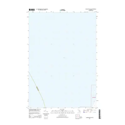
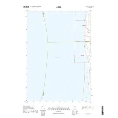
 2023 Atwood OE W2023 Print · USGSThe Lake Michigan shoreline of Antrim and Charlevoix counties is captured here in the early 2020s. Researchers can trace local history at Norwood Cem and follow the route of Old Dixie Hwy as it passes the coastal village of Norwood.
Showing maps 1-25 of 27
Top cities near Norwood Township
- Charlevoix historical maps
- East Jordan historical maps
- Torch Lake historical maps
- Central Lake historical maps
- Norwood historical maps
- Ellsworth historical maps
Top neighborhoods of Norwood Township
Frequently asked questions
- What are the different types of historical maps available for Norwood Township?
- What is the oldest map of Norwood Township?
- Where can I purchase historical maps of Norwood Township for my home or office?
- Where can I download high-res historical maps of Norwood Township?
- Are there historical topographic maps available for Norwood Township?
- Is there historical aerial imagery available for Norwood Township?
- Where are historical maps of Norwood Township sourced from?