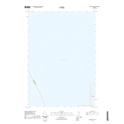
2019 Map of Charlevoix OE W
USGS Topo · Published 2019About this map
Lake Michigan dominates this coastal survey, representing the expansive offshore waters of the Grand Traverse Bay region. The map documents the aquatic boundary where Charlevoix Co and Leelanau Co meet in the open water, a detail of significant importance for maritime history and jurisdictional studies. Only a small sliver of land is visible in the southeastern corner, specifically within t33n r9w, providing a glimpse of the shoreline near the Charlevoix-Antrim border. This chart is a precise record of the lake's modern navigation area and shoreline morphology as it existed in the late 2010s.
Find a feature on this map
5 named features on this map. Tap any name to fly to it.
Don’t see what you’re looking for? This feature index may not catch every label — zoom into the map to look around manually.
Map Details
Editions of this 2019 Charlevoix OE W Map
This is the sole edition of this map. No revisions or reprints were ever made.
Other maps of this area
1954 · Central Lake
USGS Topo · 1:62,500
1954 · Charlevoix
USGS Topo · 1:62,500
1955 · Cheboygan
USGS Topo · 1:250,000
1957 · Northport
USGS Topo · 1:62,500
1958 · Cheboygan
USGS Topo · 1:250,000
1983 · Northport
USGS Topo · 1:25,000
1983 · Atwood
USGS Topo · 1:24,000
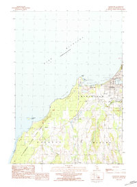
1983 · Charlevoix
USGS Topo · 1:25,000
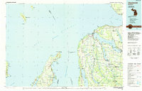
1984 · Charlevoix
USGS Topo · 1:100,000
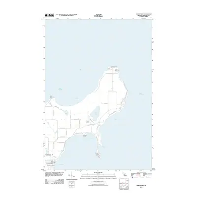
2011 · Northport
USGS Topo · 1:24,000